


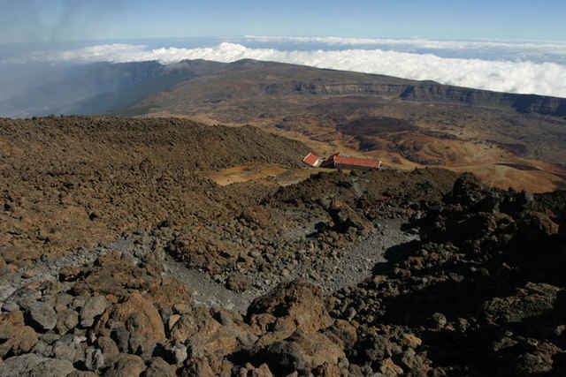
Vom "Parkplatz" direkt an der Straße geht es erst einmal gemütlich auf einer Piste entlang. Nach 2,5 km kommt von rechts der Weg von Portillo hoch, ein paar hundert Meter weiter sind die Huevos de Teide zu sehen. Nach 4,5 km hat man die Möglichkeit, noch einen kleinen Abstecher zur Montana Blanca machen. Wenn man sich allerdings direkt an den Aufstieg macht, spart man sich ca. 1,5 km Piste. Über zahlreiche Serpentinen geht es weiter zum Refugio de Altavista (8 km). Von hier sind es bis zum Rundweg am Gipfel noch ca. 1,2 km, die Bergstation der Seilbahn erreicht man nach 10 km. Wer noch einen Blick auf den Pico Viejo werfen will, erreicht diesen auf dem Rundweg nach 10,8 km.
Um bis auf den Gipfel zu kommen, benötigt man eine schriftliche Genehmigung, die in Santa Cruz ausgestellt wird. Leider habe ich es bisher zweimal nicht geschafft, eine zu besorgen. Vielleicht klappt es nächstes Mal...
Kleiner Tipp: ein Aufenthalt am Ausgang der Bergbahn lohnt sich. Es kommen immer wieder Leute in Standklamotten und Badeschlappen, die sich wundern, daß es in 3500 Metern Höhe kalt ist;-)
Further information at
http://thogan.de/photography/photos/holidays/teneriffa_2004/teide/index.htmlGaleria trasy
Mapa trasy i profil wysokości
Minimum height 2333 m
Maximum height 3580 m
More about the tour author

|
Komentarze

GPS tracks
Trackpoints-
GPX / Garmin Map Source (gpx) download
-
TCX / Garmin Training Center® (tcx) download
-
CRS / Garmin Training Center® (crs) download
-
Google Earth (kml) download
-
G7ToWin (g7t) download
-
TTQV (trk) download
-
Overlay (ovl) download
-
Fugawi (txt) download
-
Kompass (DAV) Track (tk) download
-
Karta trasy (pdf) download
-
Original file of the author (g7t) download
More about the tour author
|
|
Add to my favorites
Remove from my favorites
Edit tags
Open track
My score
Rate