Login

Zapomniałeś swój login?

Cookies have to be accepted!
Your browser's cookie functionality is disabled. Please enable this functionality.

Not a member yet?

Register now
Login

Available for registred users only

Log in to use this feature.

Zapomniałeś swój login?

Cookies have to be accepted!
Your browser's cookie functionality is disabled. Please enable this functionality.

Not a member yet?

Register now
Filter
Kategorie
Advanced filters
  • Długość (km)
  • Wysokość
Zapisz filtr Reset filter

TrackRank

QRCode

Technical data

Długość6,1 km Wysokość118 m Way down121 m Czas trwania00:35 h:m Data10.12.2008
Oceny Author Krajobraz Czynnik zadowolenia Kondycja Technika

Statystyka

302 Widoki Oceny 18 Downloads / Pliki do pobrania Przeciętnie
Rate
  • Karta trasy
  • Dojazd
  • Downloads / Pliki do pobrania

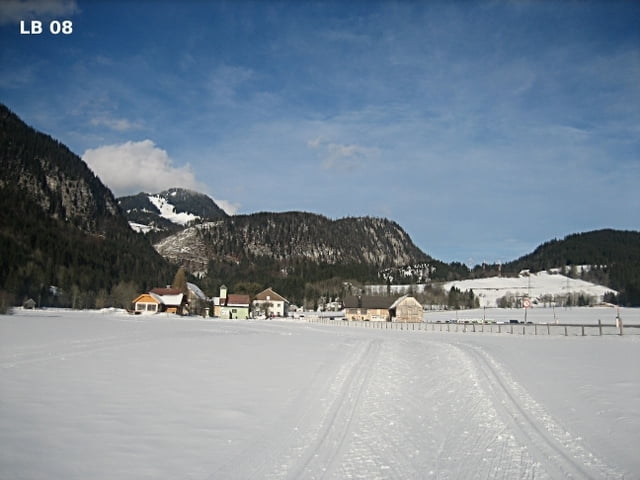
Die für Rennen von der FIS homologierte Renn Loipe im Pyhrn bei Liezen / Steiermark, mit insgesamt 6,1 km ist auf den ersten 1,6 km ident mit der Kinderloipe und daher kann man sich hier optimal aufwärmen, bevor es an die langen Steigungen geht. Die Rennloipe liegt auf 807Hm bis 850Hm. 142 Höhenmeter sind zu überwinden.

Weitere Infos und Fotos findest du auf

biketours4you.at

Mapa trasy i profil wysokości

  • Open Street Map
  • Google
Minimum height 808 m Maximum height 850 m Widok szczegółowy

More about the tour author

Trek1400d
Member since 2008

Send private message

Komentarze

GPS tracks

Trackpoints
  • GPX / Garmin Map Source (gpx) download
  • TCX / Garmin Training Center® (tcx) download
  • CRS / Garmin Training Center® (crs) download
  • Google Earth (kml) download
  • G7ToWin (g7t) download
  • TTQV (trk) download
  • Overlay (ovl) download
  • Fugawi (txt) download
  • Kompass (DAV) Track (tk) download
  • Karta trasy (pdf) download
  • Original file of the author (gpx) download

More about the tour author

Trek1400d
Member since 2008

Send private message
Share track
Add to my favorites
Remove from my favorites
Edit tags
My score
Rate
Trasa: Pyhrn Sportloipe
Rodzaj: Biegi narciarskie
Długość: 6,1 km
Evaluated on:
Czas trwania:
Day(s)
Hour(s)
Minute(s)
Ocena: Krajobraz Czynnik zadowolenia Kondycja Technika