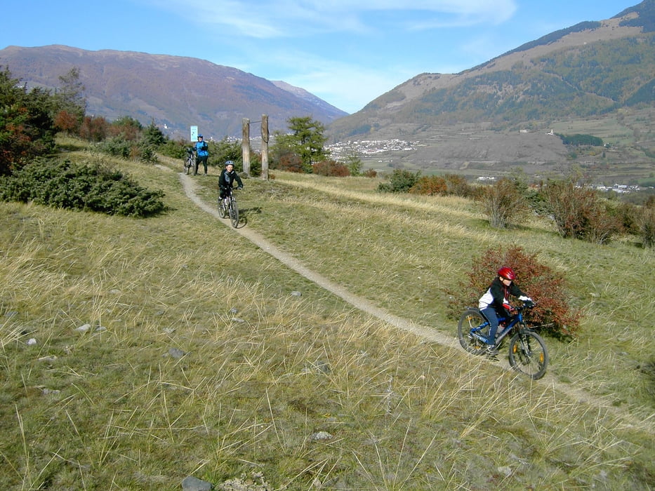
Galeria trasy
Mapa trasy i profil wysokości
Minimum height 659 m
Maximum height 1053 m
Komentarze
GPS tracks
Trackpoints-
GPX / Garmin Map Source (gpx) download
-
TCX / Garmin Training Center® (tcx) download
-
CRS / Garmin Training Center® (crs) download
-
Google Earth (kml) download
-
G7ToWin (g7t) download
-
TTQV (trk) download
-
Overlay (ovl) download
-
Fugawi (txt) download
-
Kompass (DAV) Track (tk) download
-
Karta trasy (pdf) download
-
Original file of the author (gpx) download
Add to my favorites
Remove from my favorites
Edit tags
Open track
My score
Rate


Vinschgauer Zugtrail
Incl. dem Verfahrer Richtung Stilfser.
KD
Vinschgauer Zugtrail
Durch Baumentwurzelungen nicht mehr alleine befahrbar, da das Bike oft über Bäume gehoben/angenommen werden muß.
Vinschgauer Zugtrail
Von Prad bis Tschengels noch Trail, aber nur aufwärts, Abfahrt auf Weg.
Von Tschengels bis Laatsch praktisch nur noch "Via Claudia", Hauptradweg mit größtenteils Asphalt, eher langweilig.
Vinschgauer Zugtrail
Von Prad bis Tschengels noch Trail, aber nur aufwärts, Abfahrt auf Weg.
Von Tschengels bis Laatsch praktisch nur noch "Via Claudia", Hauptradweg mit größtenteils Asphalt, eher langweilig.
Zugtrail