Login

Zapomniałeś swój login?

Cookies have to be accepted!
Your browser's cookie functionality is disabled. Please enable this functionality.

Not a member yet?

Register now
Login

Available for registred users only

Log in to use this feature.

Zapomniałeś swój login?

Cookies have to be accepted!
Your browser's cookie functionality is disabled. Please enable this functionality.

Not a member yet?

Register now
Filter
Kategorie
Advanced filters
  • Długość (km)
  • Wysokość
Zapisz filtr Reset filter

TrackRank

QRCode

Technical data

Długość32,2 km Wysokość749 m Way down708 m Czas trwania02:10 h:m Data20.12.2008
Oceny Author Krajobraz Czynnik zadowolenia Kondycja Technika

Statystyka

1490 Widoki Oceny 283 Downloads / Pliki do pobrania Przeciętnie
Rate
  • Karta trasy
  • Dojazd
  • Downloads / Pliki do pobrania

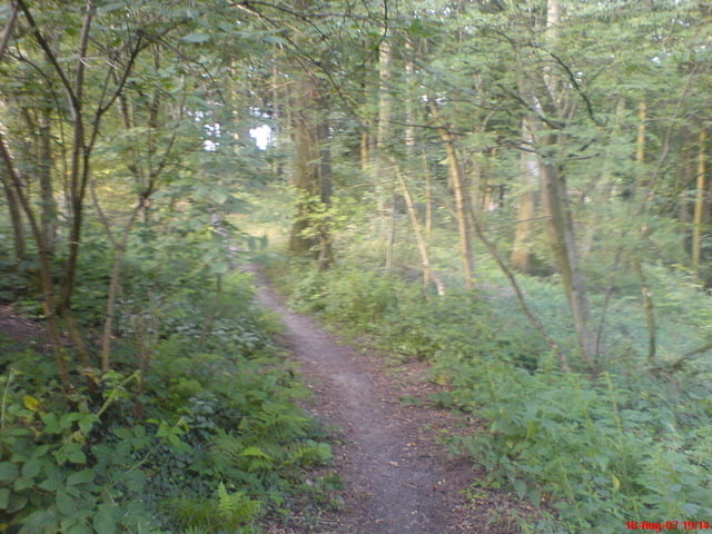
o.k. ich hatte die Tour als das beste angepriesen was ich so im Grafenberger Wald und Umgebung so kenne. War natürlich quatsch, weil ich die falsche Tour veröffentlich hatte.

Diese hier kann man natürlich auch fahren, ist ganz nett

Werde im Frühjahr 2009 die eigentliche Tour abfahren und Sie dann hier incl. Fotos Platzieren.

Also viel Spaß noch


Galeria trasy

Mapa trasy i profil wysokości

  • Open Street Map
  • Google
Minimum height 43 m Maximum height 165 m Widok szczegółowy

More about the tour author

TillHeeg
Member since 2008

Send private message

Komentarze

Parkplatz an der Rennstrecke

GPS tracks

Trackpoints
  • GPX / Garmin Map Source (gpx) download
  • TCX / Garmin Training Center® (tcx) download
  • CRS / Garmin Training Center® (crs) download
  • Google Earth (kml) download
  • G7ToWin (g7t) download
  • TTQV (trk) download
  • Overlay (ovl) download
  • Fugawi (txt) download
  • Kompass (DAV) Track (tk) download
  • Karta trasy (pdf) download
  • Original file of the author (gpx) download

More about the tour author

TillHeeg
Member since 2008

Send private message
Share track
Add to my favorites
Remove from my favorites
Edit tags
My score
Rate
Trasa: Schöne 36 km Tour am Grafenberger Wald
Rodzaj: Rower górski (MTB)
Długość: 32,2 km
Evaluated on:
Czas trwania:
Day(s)
Hour(s)
Minute(s)
Ocena: Krajobraz Czynnik zadowolenia Kondycja Technika