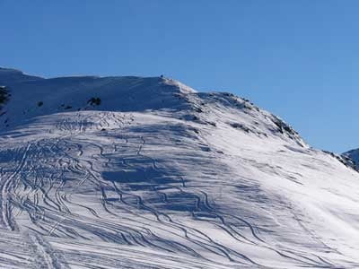
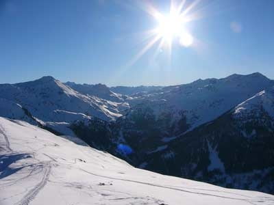
Los geht's auf der Fahrstraße von Kelchsau kommend ca. 2km vor dem Gasthaus Wegscheid auf Höhe Topfalm. Über schöne Wiesenhänge mit kurzen Waldpassagen geht's zum Almgelände der Hocheggalm. Oberhalb der Hocheggalm ri. Norden flach durch den Wald zu den schönen Hängen der Steinhüttenalmen. Ab einer Höhe von ca. 1900m am Bergrücken nach Süden bis zum Gipfel des Ramkarkopf.
Further information at
http://sigisfunwelt.de/Galeria trasy
Mapa trasy i profil wysokości
Minimum height 1028 m
Maximum height 2067 m
Komentarze

GPS tracks
Trackpoints-
GPX / Garmin Map Source (gpx) download
-
TCX / Garmin Training Center® (tcx) download
-
CRS / Garmin Training Center® (crs) download
-
Google Earth (kml) download
-
G7ToWin (g7t) download
-
TTQV (trk) download
-
Overlay (ovl) download
-
Fugawi (txt) download
-
Kompass (DAV) Track (tk) download
-
Karta trasy (pdf) download
-
Original file of the author (g7t) download
Add to my favorites
Remove from my favorites
Edit tags
Open track
My score
Rate


