Login

Zapomniałeś swój login?

Cookies have to be accepted!
Your browser's cookie functionality is disabled. Please enable this functionality.

Not a member yet?

Register now
Login

Available for registred users only

Log in to use this feature.

Zapomniałeś swój login?

Cookies have to be accepted!
Your browser's cookie functionality is disabled. Please enable this functionality.

Not a member yet?

Register now
Filter
Kategorie
Advanced filters
  • Długość (km)
  • Wysokość
Zapisz filtr Reset filter

TrackRank

QRCode

Technical data

Długość12,2 km Wysokość1050 m Way down m Czas trwania03:20 h:m Data02.01.2009
Oceny Author Krajobraz Czynnik zadowolenia Kondycja Technika

Statystyka

1145 Widoki Oceny 124 Downloads / Pliki do pobrania Przeciętnie
Rate
  • Karta trasy
  • Dojazd
  • Downloads / Pliki do pobrania

Aufstieg ca. 2 Stunden 40 Minuten

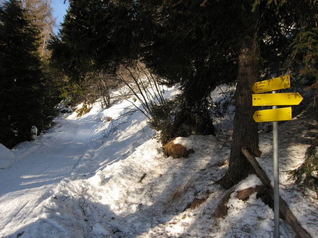
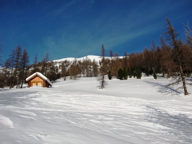
Auf einen Forstweg entlang bis man zu mehreren Almhütten gelangt. Kurz danach nord/westlich zum Gipfel. Das Gipfelkreuz ist gut sichtbar.

Abfahrt ca. 40 Minuten

Gleicher Weg wie der Anstieg nur im unteren Teil westlich halten bis man wieder auf den Forstweg kommt.


Galeria trasy

Mapa trasy i profil wysokości

  • Open Street Map
  • Google
Minimum height 401 m Maximum height 2500 m Widok szczegółowy

More about the tour author

harald07071
Member since 2008

Send private message

Komentarze

A 10 Tauernautobahn - Abfahrt Rennweg - St.Peter - Richtung Wolfsbachgraben bis zu einem Bauernhof. ( Schneeketten )


GPS tracks

Trackpoints
  • GPX / Garmin Map Source (gpx) download
  • TCX / Garmin Training Center® (tcx) download
  • CRS / Garmin Training Center® (crs) download
  • Google Earth (kml) download
  • G7ToWin (g7t) download
  • TTQV (trk) download
  • Overlay (ovl) download
  • Fugawi (txt) download
  • Kompass (DAV) Track (tk) download
  • Karta trasy (pdf) download
  • Original file of the author (gpx) download

More about the tour author

harald07071
Member since 2008

Send private message
Share track
Add to my favorites
Remove from my favorites
Edit tags
My score
Rate
Trasa: Sternspitze (2497m)
Rodzaj: Narty
Długość: 12,2 km
Evaluated on:
Czas trwania:
Day(s)
Hour(s)
Minute(s)
Ocena: Krajobraz Czynnik zadowolenia Kondycja Technika