Login

Zapomniałeś swój login?

Cookies have to be accepted!
Your browser's cookie functionality is disabled. Please enable this functionality.

Not a member yet?

Register now
Login

Available for registred users only

Log in to use this feature.

Zapomniałeś swój login?

Cookies have to be accepted!
Your browser's cookie functionality is disabled. Please enable this functionality.

Not a member yet?

Register now
Filter
Kategorie
Advanced filters
  • Długość (km)
  • Wysokość
Zapisz filtr Reset filter

TrackRank

QRCode

Technical data

Długość10,1 km Wysokość341 m Way down345 m Czas trwania02:00 h:m Data11.01.2009
Oceny Author Krajobraz Czynnik zadowolenia Kondycja Technika

Statystyka

537 Widoki Oceny 95 Downloads / Pliki do pobrania Przeciętnie
Rate
  • Karta trasy
  • Dojazd
  • Downloads / Pliki do pobrania

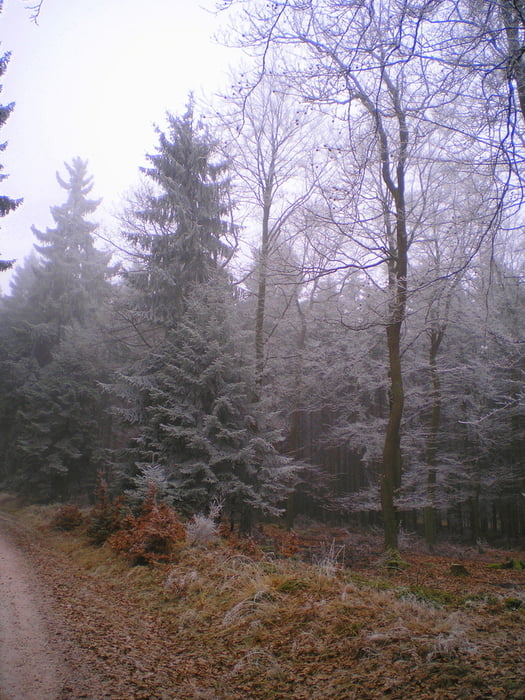
HÄTTE es an dem Tag  nicht so viel Nebel gehabt - ich HÄTTE wohl eine schöne aussicht genossen ;-)

Habe in diesem schönen Wandergebiet bei klirrender Kälte eine schöne Tour gemacht. Der langezogene Aufstieg wird durch eine schöne aussicht belohnt, wenn man nicht gerade bei Nebel läuft. Viel Spaß beim nachlaufen

Weitere Wanderungen findet ihr unter dem Link

Further information at

http://tourismus.meinestadt.de/ellern-hunsrueck/markt/wandern

Galeria trasy

Mapa trasy i profil wysokości

  • Open Street Map
  • Google
Minimum height 423 m Maximum height 650 m Widok szczegółowy

More about the tour author

Heinrichs
Member since 2007

Send private message

Komentarze

GPS tracks

Trackpoints
  • GPX / Garmin Map Source (gpx) download
  • TCX / Garmin Training Center® (tcx) download
  • CRS / Garmin Training Center® (crs) download
  • Google Earth (kml) download
  • G7ToWin (g7t) download
  • TTQV (trk) download
  • Overlay (ovl) download
  • Fugawi (txt) download
  • Kompass (DAV) Track (tk) download
  • Karta trasy (pdf) download
  • Original file of the author (gpx) download

More about the tour author

Heinrichs
Member since 2007

Send private message
Share track
Add to my favorites
Remove from my favorites
Edit tags
My score
Rate
Trasa: Wald und Panoramatour
Rodzaj: Wędrówki
Długość: 10,1 km
Evaluated on:
Czas trwania:
Day(s)
Hour(s)
Minute(s)
Ocena: Krajobraz Czynnik zadowolenia Kondycja Technika