


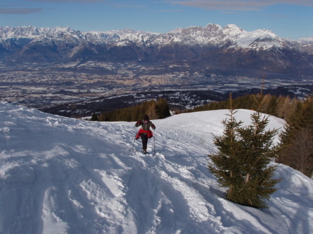
Un bel giro con le racchette da neve dapprima per boschi di pini e poi in ambiente aperto.
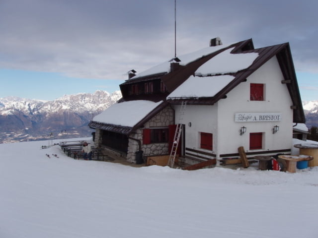
La pista è sempre battuta ed in ottime condizioni, a metà giro e quasi al termine di esso vi è la possibilità di usufruire di rifugio alpino per ristorante e servizi. In particolare il Rifugio Bristot ed il ristorante 'La Casera' in località Faverghera.
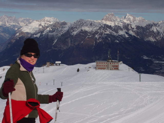
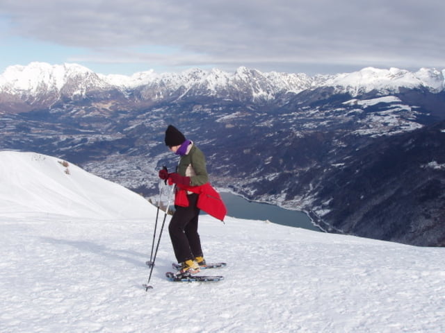
Si attraversano molte piste da sci (attenzione!) ma il percorso è su stradina forestale salendo e sulle ampie creste panoramiche scendendo, in definitiva per tutti e sempre ampio.
La discesa per le creste è molto remunrativa, quasi sempre già battuta da scialpinisti, è meglio non calpestare le tracce di scialpinismo per non rovinare la loro pista.
ore 2,30 - Sviluppo Km. 7 circa
Further information at
http://www.magicoveneto.itGaleria trasy
Mapa trasy i profil wysokości
Minimum height 1257 m
Maximum height 1808 m
More about the tour author
|
|
giangarzo |
Komentarze

Da belluno al piazzale del Nevegal, poi per strada asfaltata verso località Faverghera. al sesto tornante si parcheggia su ampio spiazzo.
GPS tracks
Trackpoints-
GPX / Garmin Map Source (gpx) download
-
TCX / Garmin Training Center® (tcx) download
-
CRS / Garmin Training Center® (crs) download
-
Google Earth (kml) download
-
G7ToWin (g7t) download
-
TTQV (trk) download
-
Overlay (ovl) download
-
Fugawi (txt) download
-
Kompass (DAV) Track (tk) download
-
Karta trasy (pdf) download
-
Original file of the author (gpx) download
More about the tour author
|
|
giangarzo |
Add to my favorites
Remove from my favorites
Edit tags
Open track
My score
Rate