

Wanderung durch das Hildesheimer Innerstetal mit Abstecher zum Wesselner Segelflugplatz. Sehr schöne Aussichten auf der ganzen Strecke. Da die Wanderung über weite Teile durch offenes Feld und Wiesengelände führt eher eine Schönwettertour. Besonders hübsch zur Kirschblüte oder im Herbst während der Laubfärbung. Einkehrmöglichkeiten in Wesseln, Waldgaststätte Waldfrieden oder Klein-Düngen. Gute Ausgangspunkte in allen Orten der Strecke. In Wesseln und Groß-Düngen Bahnanschluss mit der Eurobahn.
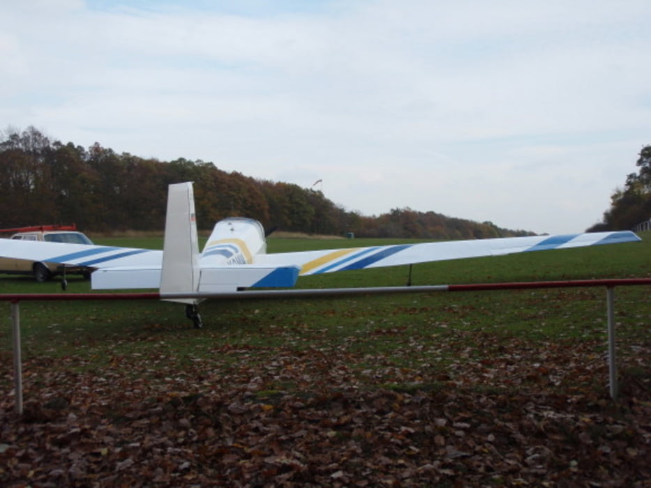
Ein weiterer Höhepunkt ist dem Flugbetrieb auf dem Wesselner Flugplatz zuzusehen, oder sogar mitzufliegen.
Galeria trasy


Mapa trasy i profil wysokości
Minimum height 79 m
Maximum height 190 m
More about the tour author

|
wanderer_09 |
Komentarze

GPS tracks
Trackpoints-
GPX / Garmin Map Source (gpx) download
-
TCX / Garmin Training Center® (tcx) download
-
CRS / Garmin Training Center® (crs) download
-
Google Earth (kml) download
-
G7ToWin (g7t) download
-
TTQV (trk) download
-
Overlay (ovl) download
-
Fugawi (txt) download
-
Kompass (DAV) Track (tk) download
-
Karta trasy (pdf) download
-
Original file of the author (gpx) download
More about the tour author
|
|
wanderer_09 |
Add to my favorites
Remove from my favorites
Edit tags
Open track
My score
Rate