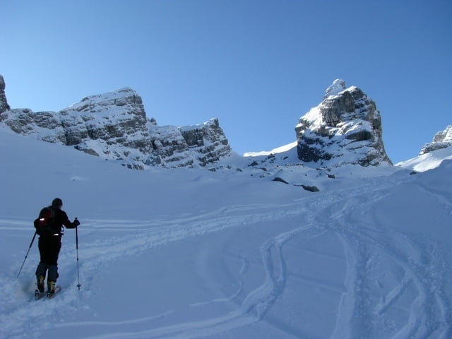
Vom Parkplatz Hammerstiel zunächst auf einem Forstweg bis zur Schapbachhütte, Weggabelung links halten entlang der Forststrasse bis zur “Benzinkurve”. (Schitourentafel Watzmannkar). Wir verlassen die Forststrasse und gehen gerade danach rechts über einen Steig danach durch ein Abgeholztes Waldstück bis unterhalb des kleinen Watzmann.Den mit Felsen bedeckten Watzmannkar aufwärts bis vor die “Jungfrau” (4. Watzmannkind). Hier geht es links zum 3. Watzmannkind oder rechts zum Schischartl. Beide Aufstiege sin mäßig Steil und gleich lang. Der Aufstieg zum 3. Watzmannkind endet auf einem Freistehenden Pfeilerkopf ( meißt stark Überwächtet !!!).
Further information at
http://www.asengerhard.comGaleria trasy
Mapa trasy i profil wysokości
Komentarze

GPS tracks
Trackpoints-
GPX / Garmin Map Source (gpx) download
-
TCX / Garmin Training Center® (tcx) download
-
CRS / Garmin Training Center® (crs) download
-
Google Earth (kml) download
-
G7ToWin (g7t) download
-
TTQV (trk) download
-
Overlay (ovl) download
-
Fugawi (txt) download
-
Kompass (DAV) Track (tk) download
-
Karta trasy (pdf) download
-
Original file of the author (gpx) download


