Login

Zapomniałeś swój login?

Cookies have to be accepted!
Your browser's cookie functionality is disabled. Please enable this functionality.

Not a member yet?

Register now
Login

Available for registred users only

Log in to use this feature.

Zapomniałeś swój login?

Cookies have to be accepted!
Your browser's cookie functionality is disabled. Please enable this functionality.

Not a member yet?

Register now
Filter
Kategorie
Advanced filters
  • Długość (km)
  • Wysokość
Zapisz filtr Reset filter

TrackRank

QRCode

Technical data

Długość13,6 km Wysokość319 m Way down208 m Czas trwania02:30 h:m Data02.02.2009
Oceny Author User Krajobraz Czynnik zadowolenia Kondycja Technika

Statystyka

823 Widoki 2 Oceny 110 Downloads / Pliki do pobrania 5.00 Przeciętnie
Rate
  • Karta trasy
  • Dojazd
  • Downloads / Pliki do pobrania

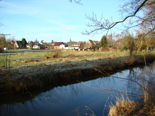
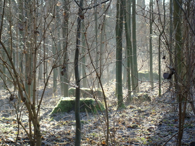
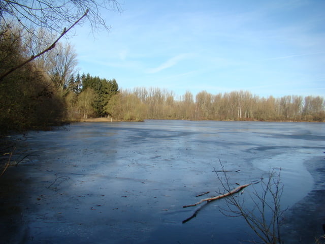
zeer mooie en afwisselende route op de grens tussen het eifelgebied en het rurgebied.

Alle verschillende natuurgebieden komen aan  bod.

In broich moet je zeker een rustpauze inleggen in broicherhof waar je voor een zeer gunstig prijsje kwaliteitsvol kan eten en drinken.

Further information at

http://patrickcarlareizen.multiply.com/journal/item/88/Julich_23-25_januari

Galeria trasy

Mapa trasy i profil wysokości

  • Open Street Map
  • Google
Minimum height -41 m Maximum height 92 m Widok szczegółowy

More about the tour author

ikkel
Member since 2009

Send private message

Komentarze

GPS tracks

Trackpoints
  • GPX / Garmin Map Source (gpx) download
  • TCX / Garmin Training Center® (tcx) download
  • CRS / Garmin Training Center® (crs) download
  • Google Earth (kml) download
  • G7ToWin (g7t) download
  • TTQV (trk) download
  • Overlay (ovl) download
  • Fugawi (txt) download
  • Kompass (DAV) Track (tk) download
  • Karta trasy (pdf) download
  • Original file of the author (gpx) download

More about the tour author

ikkel
Member since 2009

Send private message
Share track
Add to my favorites
Remove from my favorites
Edit tags
My score
Rate
Trasa: obst und wasserwanderweg
Rodzaj: Wędrówki
Długość: 13,6 km
Evaluated on:
Czas trwania:
Day(s)
Hour(s)
Minute(s)
Ocena: Krajobraz Czynnik zadowolenia Kondycja Technika