
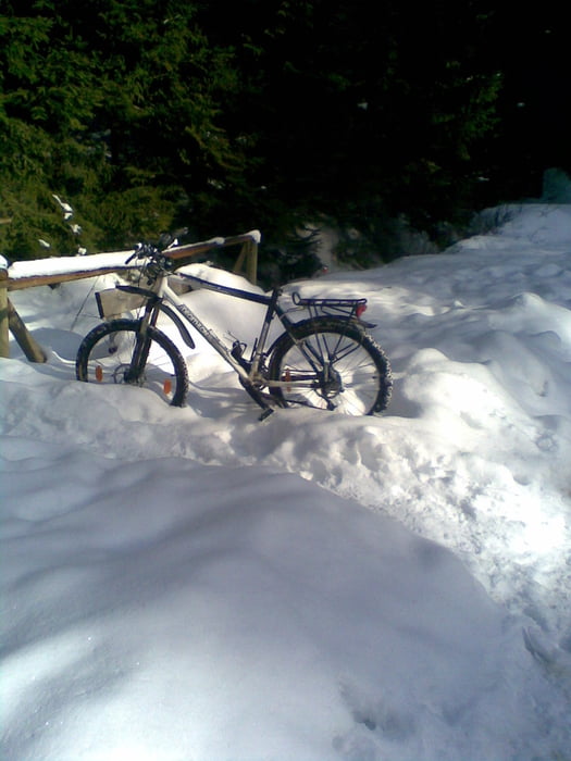

Start vom IFA. Das erste Stück folgt der Straße und ab dem ersten Parkplatz geht es rechts ab über Waldwege. Die Tour bin ich im Februar im Schnee gefahren, was sehr gut möglich war, wobei Spikes nicht von Nachteil sind. Die Kondition und Technik schwank zwischen 3 ohne Schnee und 5 mit Schnee. Zur Belohnung kann ich nur ein warmes Getränk und ein dickes Stück Kuchen in dem IFA empfehlen. Ich bin den Track linksherum (gegen die Uhr) gefahren. Dies würde ich bei Schnee empfehlen, sonst gibt es mehr schiebepassagen.
Mapa trasy i profil wysokości
Minimum height 564 m
Maximum height 929 m
More about the tour author
|
|
andreas_k |
Komentarze

Am besten mit der Vogtlandbahn bis Schöneck IFA. Hier beginnt der Track.
GPS tracks
Trackpoints-
GPX / Garmin Map Source (gpx) download
-
TCX / Garmin Training Center® (tcx) download
-
CRS / Garmin Training Center® (crs) download
-
Google Earth (kml) download
-
G7ToWin (g7t) download
-
TTQV (trk) download
-
Overlay (ovl) download
-
Fugawi (txt) download
-
Kompass (DAV) Track (tk) download
-
Karta trasy (pdf) download
-
Original file of the author (gpx) download
More about the tour author
|
|
andreas_k |
Add to my favorites
Remove from my favorites
Edit tags
Open track
My score
Rate