Login

Zapomniałeś swój login?

Cookies have to be accepted!
Your browser's cookie functionality is disabled. Please enable this functionality.

Not a member yet?

Register now
Login

Available for registred users only

Log in to use this feature.

Zapomniałeś swój login?

Cookies have to be accepted!
Your browser's cookie functionality is disabled. Please enable this functionality.

Not a member yet?

Register now
Filter
Kategorie
Advanced filters
  • Długość (km)
  • Wysokość
Zapisz filtr Reset filter

TrackRank

QRCode

Technical data

Długość43,1 km Wysokość883 m Way down878 m Czas trwania03:00 h:m Data16.02.2009
Oceny Author User Krajobraz Czynnik zadowolenia Kondycja Technika

Statystyka

2038 Widoki 2 Oceny 364 Downloads / Pliki do pobrania 4.00 Przeciętnie
Rate
  • Karta trasy
  • Dojazd
  • Downloads / Pliki do pobrania

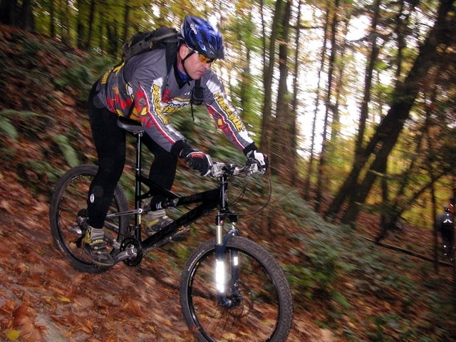
Trailige Mountainbike - Tour
Leverkusen - Opladen - Leichlingen - Solingen

Start: Lev.-Schlebusch / DB Bahnhof Lev. Opladen

Der Tourbeginn kann sowohl in Schlebusch als in Opladen sein.
Im Verauf der Tour fahren wir die trailigsten Wege die auf dieser Runde zu finden sind.
Bei drei Stunden Fahrzeit, im mäßigen Tempo, bewätigen wir ca. 760 Höhenmeter.


Mapa trasy i profil wysokości

  • Open Street Map
  • Google
Minimum height -2 m Maximum height 149 m Widok szczegółowy

More about the tour author

willibike
Member since 2008

Send private message

Komentarze

GPS tracks

Trackpoints
  • GPX / Garmin Map Source (gpx) download
  • TCX / Garmin Training Center® (tcx) download
  • CRS / Garmin Training Center® (crs) download
  • Google Earth (kml) download
  • G7ToWin (g7t) download
  • TTQV (trk) download
  • Overlay (ovl) download
  • Fugawi (txt) download
  • Kompass (DAV) Track (tk) download
  • Karta trasy (pdf) download
  • Original file of the author (gpx) download

More about the tour author

willibike
Member since 2008

Send private message
Share track
Add to my favorites
Remove from my favorites
Edit tags
My score
Rate
Trasa: Trailige Mountainbike Tour
Rodzaj: Rower górski (MTB)
Długość: 43,1 km
Evaluated on:
Czas trwania:
Day(s)
Hour(s)
Minute(s)
Ocena: Krajobraz Czynnik zadowolenia Kondycja Technika