


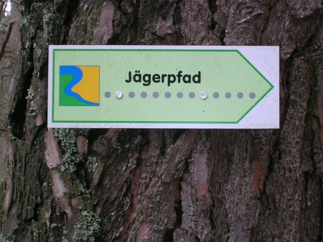
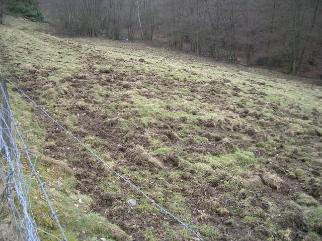
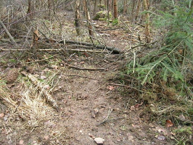
Der Weg führt durch ein wildreiches Gebiet mit vielen Spuren von Jägern und Gejagten. Jahrtausendelang versorgten sich die Menschen als Jäger und Sammler. Die Einführung von Viehhaltung und Ackerbau veränderte nicht nur Lebensgewohnheiten, sondern auch die ursprüngliche Landschaft. Es entstand eine vom Menschen dominierte Kulturlandschaft, die den Lebensraum des Wildes immer stärker begrenzt.
Einkehrmöglichkeit gibt es im Kloster Maria Wald.
Further information at
http://www.ferienwohnung-dick.com/Galeria trasy

Mapa trasy i profil wysokości
Minimum height 309 m
Maximum height 443 m
More about the tour author
|
|
Brunodick |
Komentarze

Kloster Mariawald
GPS tracks
Trackpoints-
GPX / Garmin Map Source (gpx) download
-
TCX / Garmin Training Center® (tcx) download
-
CRS / Garmin Training Center® (crs) download
-
Google Earth (kml) download
-
G7ToWin (g7t) download
-
TTQV (trk) download
-
Overlay (ovl) download
-
Fugawi (txt) download
-
Kompass (DAV) Track (tk) download
-
Karta trasy (pdf) download
-
Original file of the author (gpx) download
More about the tour author
|
|
Brunodick |
Add to my favorites
Remove from my favorites
Edit tags
Open track
My score
Rate