Login

Zapomniałeś swój login?

Cookies have to be accepted!
Your browser's cookie functionality is disabled. Please enable this functionality.

Not a member yet?

Register now
Login

Available for registred users only

Log in to use this feature.

Zapomniałeś swój login?

Cookies have to be accepted!
Your browser's cookie functionality is disabled. Please enable this functionality.

Not a member yet?

Register now
Filter
Kategorie
Advanced filters
  • Długość (km)
  • Wysokość
Zapisz filtr Reset filter

TrackRank

QRCode

Technical data

Długość4,7 km Wysokość542 m Way down m Czas trwania00:00 h:m Data23.03.2006
Oceny Author Krajobraz Czynnik zadowolenia Kondycja Technika

Statystyka

1088 Widoki Oceny 55 Downloads / Pliki do pobrania Przeciętnie
Rate
  • Karta trasy
  • Dojazd
  • Downloads / Pliki do pobrania
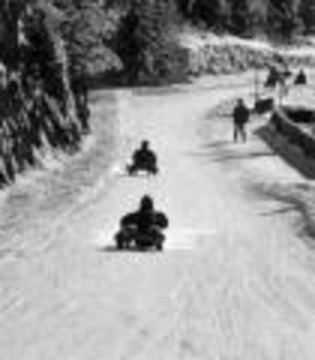
Aufstieg zur Bergstation der Seilbahn entlang der Rodelbahn. Startpunkt ist der Parkplatz bei der Talstation.

Further information at

http://www.galsterberg.at/

Galeria trasy

Mapa trasy i profil wysokości

  • Open Street Map
  • Google
Minimum height 1094 m Maximum height 1652 m Widok szczegółowy

More about the tour author

Fix&Foxi

Komentarze

N47 24.278 E13 51.821

GPS tracks

Trackpoints
  • GPX / Garmin Map Source (gpx) download
  • TCX / Garmin Training Center® (tcx) download
  • CRS / Garmin Training Center® (crs) download
  • Google Earth (kml) download
  • G7ToWin (g7t) download
  • TTQV (trk) download
  • Overlay (ovl) download
  • Fugawi (txt) download
  • Kompass (DAV) Track (tk) download
  • Karta trasy (pdf) download

More about the tour author

Fix&Foxi

Share track
Add to my favorites
Remove from my favorites
Edit tags
My score
Rate
Trasa: Pruggern; Rodelpartie auf dem Galsterberg
Rodzaj: Wędrówki
Długość: 4,7 km
Evaluated on:
Czas trwania:
Day(s)
Hour(s)
Minute(s)
Ocena: Krajobraz Czynnik zadowolenia Kondycja Technika