
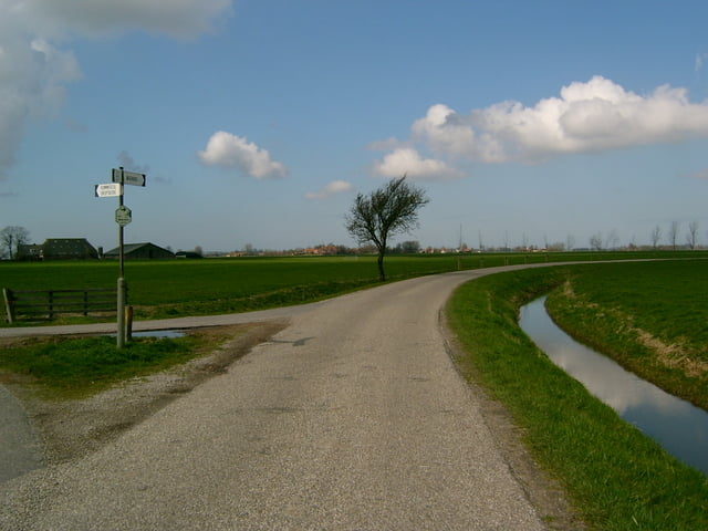

Mooi & rustig looprondje met fraaie uitzichten over het Groninger landschap.
Helaas op het einde van de route nog een kilometer langs de Rijksstraatweg.
Galeria trasy


Mapa trasy i profil wysokości
Minimum height -16 m
Maximum height 37 m
More about the tour author
|
|
japie7 |
Komentarze

Start in Noordhorn
Via fietspad naar de Spanjaardsdijk Noord.
Einde fietspad naar links Jensemaweg
Links, stukje Noorderderweg
Naar rechts richting Niehove, Heereburen
Afslag recht en na honderd meter links richting Kommerzijl
Afslag links fietspad op
Bij viersprong naar links richting Balmahuizen
Einde pad naar rechts over weg richting Rijksstraatweg.
Bij Rijksstraatweg naar links over fietspad richting Noordhorn
1e afslag Noordhorn in.
GPS tracks
Trackpoints-
GPX / Garmin Map Source (gpx) download
-
TCX / Garmin Training Center® (tcx) download
-
CRS / Garmin Training Center® (crs) download
-
Google Earth (kml) download
-
G7ToWin (g7t) download
-
TTQV (trk) download
-
Overlay (ovl) download
-
Fugawi (txt) download
-
Kompass (DAV) Track (tk) download
-
Karta trasy (pdf) download
-
Original file of the author (gpx) download
More about the tour author
|
|
japie7 |
Add to my favorites
Remove from my favorites
Edit tags
Open track
My score
Rate