


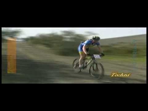
Die Tour ist ähnlich wie die Tour "Sunshine-Cup 1# 2009 Zypern" und Startet ebenfalls in Tochni. Am Anfang der Tour kommt es einem vor als würde man nur Bergauf fahren, was sehr anstrengend werden kann, wenn ma nicht absteigen will! Man wird aber belohnt und zwar mit einem herlichen Blick über die umliegenden Berge und mit wunderschönen, schnellen Singletrail abfahrten.
Am Stausee geht die Tour weiter über die Staumauer, und kehrt anschliessend wieder auf die Sunshinecup strecke zurück. In Kalavassos fährt man an der Bikestaion vorbei in Richtung Autobahn, und weiter zum Ausgangspunkt nach Tochni.
Further information at
http://www.cyprusvillages.de/Galeria trasy


Mapa trasy i profil wysokości
Minimum height 49 m
Maximum height 443 m
More about the tour author
|
|
cc-racer |
Komentarze

Das Dorf Tochni liegt zwischen Larnaca und Limassol nahe der Autobahn A1. in dem Ort gibts es vor der Kirche mehrere Parkmöglichkeiten. Man kann natürlich auch von der Bikestation in Kalavassos starten.
GPS tracks
Trackpoints-
GPX / Garmin Map Source (gpx) download
-
TCX / Garmin Training Center® (tcx) download
-
CRS / Garmin Training Center® (crs) download
-
Google Earth (kml) download
-
G7ToWin (g7t) download
-
TTQV (trk) download
-
Overlay (ovl) download
-
Fugawi (txt) download
-
Kompass (DAV) Track (tk) download
-
Karta trasy (pdf) download
-
Original file of the author (gpx) download
More about the tour author
|
|
cc-racer |
Add to my favorites
Remove from my favorites
Edit tags
Open track
My score
Rate