


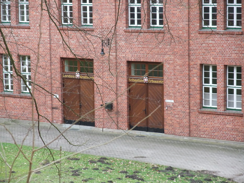
Wer sich die Stadt Ratzeburg ansehen möchte und dabei die schöne nähere Umgebung ebenfalls erkunden möchte, dem empfehle ich diese Tour. Es sind gute Wege die man auch in kleinen Varianten laufen kann. Es ist ein wenig hügelig und der See (Tel des Ratzeburger See) ist oft zu sehen. Es gibt auch einen Naturlehrpfad. Die Landschaft ist reizvoll und es gibt Kulturdenkmäler wir eine Kraftwerk. Also auf zur Erkundung.
Der Einstieg ist überall möglich. Es gibt in Ratzeburg viele Parkplätze.
Further information at
http://www.ratzeburg.de/Galeria trasy
Mapa trasy i profil wysokości
Minimum height -51 m
Maximum height 29 m
More about the tour author

|
gerald009 |
Komentarze

GPS tracks
Trackpoints-
GPX / Garmin Map Source (gpx) download
-
TCX / Garmin Training Center® (tcx) download
-
CRS / Garmin Training Center® (crs) download
-
Google Earth (kml) download
-
G7ToWin (g7t) download
-
TTQV (trk) download
-
Overlay (ovl) download
-
Fugawi (txt) download
-
Kompass (DAV) Track (tk) download
-
Karta trasy (pdf) download
-
Original file of the author (gpx) download
More about the tour author
|
|
gerald009 |
Add to my favorites
Remove from my favorites
Edit tags
Open track
My score
Rate