Login

Zapomniałeś swój login?

Cookies have to be accepted!
Your browser's cookie functionality is disabled. Please enable this functionality.

Not a member yet?

Register now
Login

Available for registred users only

Log in to use this feature.

Zapomniałeś swój login?

Cookies have to be accepted!
Your browser's cookie functionality is disabled. Please enable this functionality.

Not a member yet?

Register now
Filter
Kategorie
Advanced filters
  • Długość (km)
  • Wysokość
Zapisz filtr Reset filter

TrackRank

QRCode

Technical data

Długość8,0 km Wysokość84 m Way down90 m Czas trwania00:00 h:m Data15.03.2009
Oceny Author Krajobraz Czynnik zadowolenia Kondycja Technika

Statystyka

976 Widoki Oceny 38 Downloads / Pliki do pobrania Przeciętnie
Rate
  • Karta trasy
  • Dojazd
  • Downloads / Pliki do pobrania

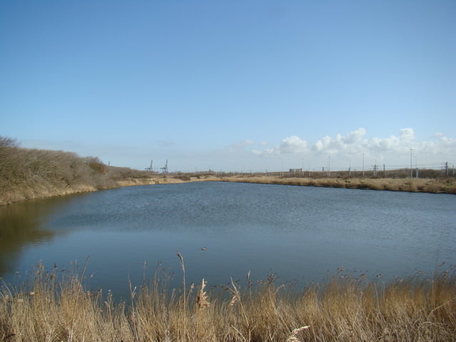
Mooie strandwandeling van Blankenberge tot zeebrugge.

De wandeling gaat ook door domein "de fonteintjes"

In zeebrugge neem je de tram tot in blankenberge waar je via het strand terugwandelt.

Galeria trasy

Mapa trasy i profil wysokości

  • Open Street Map
  • Google
Minimum height -28 m Maximum height 27 m Widok szczegółowy

More about the tour author

ikkel
Member since 2009

Send private message

Komentarze

GPS tracks

Trackpoints
  • GPX / Garmin Map Source (gpx) download
  • TCX / Garmin Training Center® (tcx) download
  • CRS / Garmin Training Center® (crs) download
  • Google Earth (kml) download
  • G7ToWin (g7t) download
  • TTQV (trk) download
  • Overlay (ovl) download
  • Fugawi (txt) download
  • Kompass (DAV) Track (tk) download
  • Karta trasy (pdf) download
  • Original file of the author (gpx) download

More about the tour author

ikkel
Member since 2009

Send private message
Share track
Add to my favorites
Remove from my favorites
Edit tags
My score
Rate
Trasa: Strandwandeling zeebrugge
Rodzaj: Wędrówki
Długość: 8,0 km
Evaluated on:
Czas trwania:
Day(s)
Hour(s)
Minute(s)
Ocena: Krajobraz Czynnik zadowolenia Kondycja Technika