


Gemütliche Wanderung um den Stausee der Hirzmannsperre in der Nähe von Edelschrott beginnend.
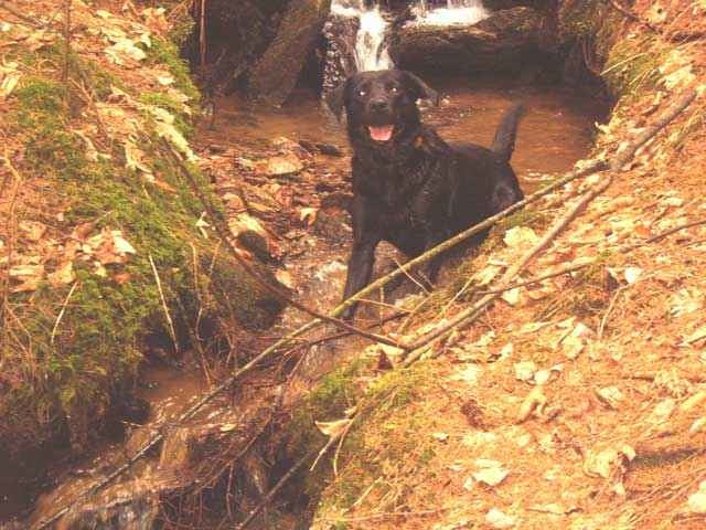
Leider war der Stausee an dem Tag (2.April) fast bis auf den Grund ausgelassen, hat aber trotzdem sehr interessant ausgesehen.
Bei normalem Wasserstand sollte man den Ausflug zur Mitte des Sees allerdings nur mit einem Boot machen ;)
Leider war der Stausee an dem Tag (2.April) fast bis auf den Grund ausgelassen, hat aber trotzdem sehr interessant ausgesehen.
Bei normalem Wasserstand sollte man den Ausflug zur Mitte des Sees allerdings nur mit einem Boot machen ;)
Galeria trasy
Mapa trasy i profil wysokości
Minimum height 696 m
Maximum height 731 m
More about the tour author

|
guenther.rupitz |
Komentarze

Über die Südautobahn Abfahrt Modriach, vorbei am Packer Stausee bis Edelschrott. Dort nach Lukaseder abbiegen. In Lukaseder Richtung Süden bis zum Stausee hinunter.
GPS tracks
Trackpoints-
GPX / Garmin Map Source (gpx) download
-
TCX / Garmin Training Center® (tcx) download
-
CRS / Garmin Training Center® (crs) download
-
Google Earth (kml) download
-
G7ToWin (g7t) download
-
TTQV (trk) download
-
Overlay (ovl) download
-
Fugawi (txt) download
-
Kompass (DAV) Track (tk) download
-
Karta trasy (pdf) download
-
Original file of the author (gpx) download
More about the tour author
|
|
guenther.rupitz |
Add to my favorites
Remove from my favorites
Edit tags
Open track
My score
Rate