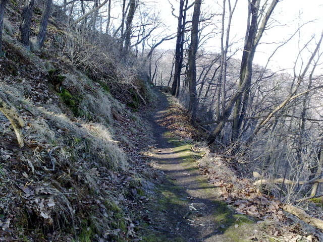
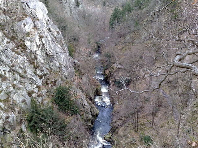
Wer am Amfang nicht gleich lust hat einen ca. 1Std. langen Aufstieg zu machen, der kann auch die Seilbahn Richtung Hexentanzplatz nehmen. Den weiteren Verlauf entnehmt Ihr bitte der GPS Datei. Ihr wisst, ja das ich keine begeisterter Tourenbeschreiber bin :-)
Galeria trasy
Mapa trasy i profil wysokości
Minimum height 181 m
Maximum height 494 m
Komentarze

Anfart über die B6 Richtung Thale. Parkplatz an der Seilbahn benutzen.
GPS tracks
Trackpoints-
GPX / Garmin Map Source (gpx) download
-
TCX / Garmin Training Center® (tcx) download
-
CRS / Garmin Training Center® (crs) download
-
Google Earth (kml) download
-
G7ToWin (g7t) download
-
TTQV (trk) download
-
Overlay (ovl) download
-
Fugawi (txt) download
-
Kompass (DAV) Track (tk) download
-
Karta trasy (pdf) download
-
Original file of the author (gpx) download
Add to my favorites
Remove from my favorites
Edit tags
Open track
My score
Rate


