
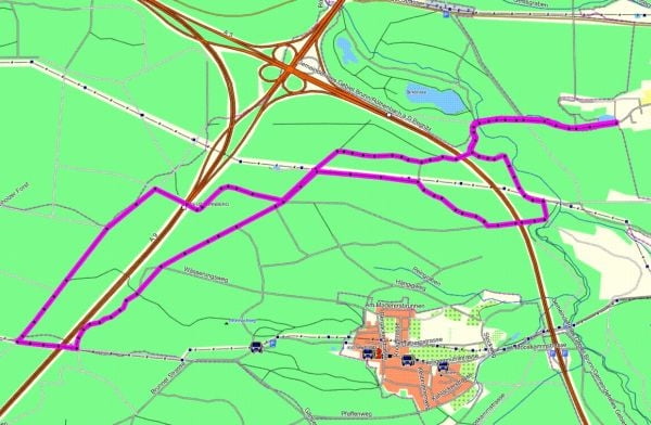

Start ist in Diepersdorf bei der Kläranlage.
Von dort Richtung Birkensee, unter der Autobahn durch Richtung der alten Steinbrüche beim Tiergarten. Der Weg geht größtensteils im Wald auf geschotterten Wegen.
Die Runde besitzt kaum nennenswerte Steigungen und sollten so von jedermann leicht zu bewältigen sein.
Mapa trasy i profil wysokości
Minimum height 335 m
Maximum height 389 m
More about the tour author

|
auditor |
Komentarze

Start ist in Diepersdorf bei der Kläranlage. Dort besteht auch die Möglichkeit mit dem Auto zu Parken.
GPS tracks
Trackpoints-
GPX / Garmin Map Source (gpx) download
-
TCX / Garmin Training Center® (tcx) download
-
CRS / Garmin Training Center® (crs) download
-
Google Earth (kml) download
-
G7ToWin (g7t) download
-
TTQV (trk) download
-
Overlay (ovl) download
-
Fugawi (txt) download
-
Kompass (DAV) Track (tk) download
-
Karta trasy (pdf) download
-
Original file of the author (gpx) download
More about the tour author
|
|
auditor |
Add to my favorites
Remove from my favorites
Edit tags
Open track
My score
Rate