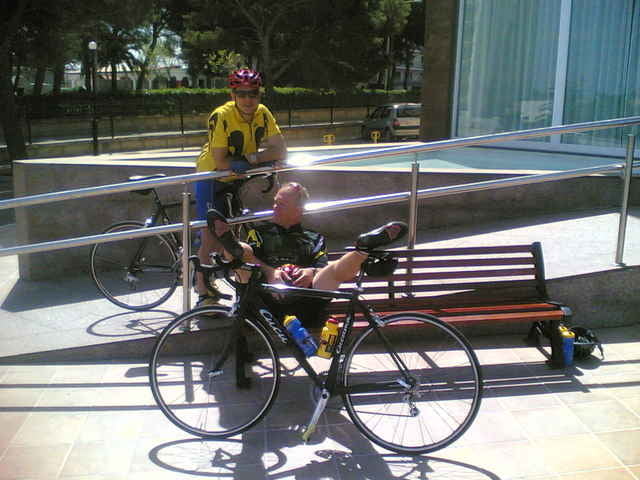
Die Tour ist eine leicht wellige Tour. Sie führt grösstenteils auf Nebenstrassen und ist deshalb ideal dafür geeignet sich auf die nächsten 10 Tage Trainingslager einzugewöhnen. Vielen Dank auch noch mal an Ralf Ebli und Michael Hertweck sowie an das Team von Pro Training Tours für die perfekten 10 Tage. http://www.protrainingtours.de
Further information at
http://www.protrainingtours.deGaleria trasy
Mapa trasy i profil wysokości
Minimum height -24 m
Maximum height 170 m
Komentarze

GPS tracks
Trackpoints-
GPX / Garmin Map Source (gpx) download
-
TCX / Garmin Training Center® (tcx) download
-
CRS / Garmin Training Center® (crs) download
-
Google Earth (kml) download
-
G7ToWin (g7t) download
-
TTQV (trk) download
-
Overlay (ovl) download
-
Fugawi (txt) download
-
Kompass (DAV) Track (tk) download
-
Karta trasy (pdf) download
-
Original file of the author (g7t) download
Add to my favorites
Remove from my favorites
Edit tags
Open track
My score
Rate


