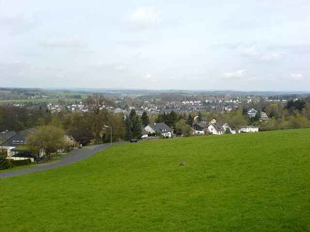
Von Hamm über Bitzen, Forst, Erblingen bis kurz vor Waldbröl.An Waldbröl vorbei über Hecke, Herfen, Wies und Mittel nach Rosbach. An der Sieg vorbei zurück nach Hamm.
Bis auf ein kleines Stück Schotterweg zwischen Wies und Mittel sind alle Strecken asphaltiert. Der Schotterweg ist jedoch sehr gut zu befahren. Deshalb bedingt auch Rennradtauglich.
Bis auf ein kleines Stück Schotterweg zwischen Wies und Mittel sind alle Strecken asphaltiert. Der Schotterweg ist jedoch sehr gut zu befahren. Deshalb bedingt auch Rennradtauglich.
Mapa trasy i profil wysokości
Minimum height 122 m
Maximum height 370 m
Komentarze

GPS tracks
Trackpoints-
GPX / Garmin Map Source (gpx) download
-
TCX / Garmin Training Center® (tcx) download
-
CRS / Garmin Training Center® (crs) download
-
Google Earth (kml) download
-
G7ToWin (g7t) download
-
TTQV (trk) download
-
Overlay (ovl) download
-
Fugawi (txt) download
-
Kompass (DAV) Track (tk) download
-
Karta trasy (pdf) download
-
Original file of the author (g7t) download
Add to my favorites
Remove from my favorites
Edit tags
Open track
My score
Rate

