Login

Zapomniałeś swój login?

Cookies have to be accepted!
Your browser's cookie functionality is disabled. Please enable this functionality.

Not a member yet?

Register now
Login

Available for registred users only

Log in to use this feature.

Zapomniałeś swój login?

Cookies have to be accepted!
Your browser's cookie functionality is disabled. Please enable this functionality.

Not a member yet?

Register now
Filter
Kategorie
Advanced filters
  • Długość (km)
  • Wysokość
Zapisz filtr Reset filter

TrackRank

QRCode

Technical data

Długość7,2 km Wysokość178 m Way down163 m Czas trwania02:50 h:m Data01.04.2009
Oceny Author Krajobraz Czynnik zadowolenia Kondycja Technika

Statystyka

1840 Widoki Oceny 52 Downloads / Pliki do pobrania Przeciętnie
Rate
  • Karta trasy
  • Dojazd
  • Downloads / Pliki do pobrania

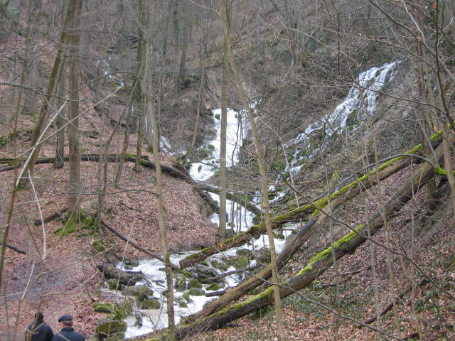
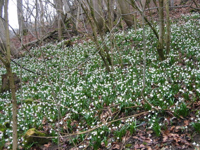
Wanderung von der Autalhalle (Parkplatz) den Autalbach entlang bis zur Waldkapelle oder den oberen Autalweg bis zur Schutzhütte. Im Frühjahr entfachen die seltenen Märzenbecher die Wälder entlang des Weges in  ein Farbspiel in weiß und grün. Vorbei am Wasserfall kommen wir dann auf den Burghaldenweg mit Blick auf Bad Überkingen. Über die Türkheimer.- und Hausenerstrasse kommen wir wieder zurück zum Ausgangspunkt.


Galeria trasy

Mapa trasy i profil wysokości

  • Open Street Map
  • Google
Minimum height 431 m Maximum height 583 m Widok szczegółowy

More about the tour author

guene
Member since 2009

Send private message

Komentarze


GPS tracks

Trackpoints
  • GPX / Garmin Map Source (gpx) download
  • TCX / Garmin Training Center® (tcx) download
  • CRS / Garmin Training Center® (crs) download
  • Google Earth (kml) download
  • G7ToWin (g7t) download
  • TTQV (trk) download
  • Overlay (ovl) download
  • Fugawi (txt) download
  • Kompass (DAV) Track (tk) download
  • Karta trasy (pdf) download
  • Original file of the author (gpx) download

More about the tour author

guene
Member since 2009

Send private message
Share track
Add to my favorites
Remove from my favorites
Edit tags
My score
Rate
Trasa: Autal
Rodzaj: Wędrówki
Długość: 7,2 km
Evaluated on:
Czas trwania:
Day(s)
Hour(s)
Minute(s)
Ocena: Krajobraz Czynnik zadowolenia Kondycja Technika