Login

Zapomniałeś swój login?

Cookies have to be accepted!
Your browser's cookie functionality is disabled. Please enable this functionality.

Not a member yet?

Register now
Login

Available for registred users only

Log in to use this feature.

Zapomniałeś swój login?

Cookies have to be accepted!
Your browser's cookie functionality is disabled. Please enable this functionality.

Not a member yet?

Register now
Filter
Kategorie
Advanced filters
  • Długość (km)
  • Wysokość
Zapisz filtr Reset filter

TrackRank

QRCode

Technical data

Długość10,1 km Wysokość289 m Way down288 m Czas trwania02:30 h:m Data10.04.2009
Oceny Author Krajobraz Czynnik zadowolenia Kondycja Technika

Statystyka

702 Widoki Oceny 106 Downloads / Pliki do pobrania Przeciętnie
Rate
  • Karta trasy
  • Dojazd
  • Downloads / Pliki do pobrania
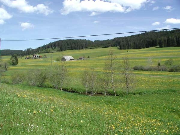
Diese Wanderung führt vorbei an zahlreichen Schwarzwaldhöfen im Reichenbachtal. Anschließend laufen Sie am Waldrand zur "Fehrn", von welcher aus Sie einen unvergesslichen Blick auf Neustadt, den Titisee, den Hochfirst und den Feldberg haben werden. Auf dem Rückweg wandern Sie durch den Bälzenwald wieder in Richtung Unterschwärzenbach, wo attraktive Ausblicke in das Schwärzenbacher Tal geboten werden.

Further information at

http://www.cafe-feldbergblick.de/wanderurlaub_titisee.html

Mapa trasy i profil wysokości

  • Open Street Map
  • Google
Minimum height 854 m Maximum height 1049 m Widok szczegółowy

More about the tour author

RVogelbacher
Member since 2009

Send private message

Komentarze

GPS tracks

Trackpoints
  • GPX / Garmin Map Source (gpx) download
  • TCX / Garmin Training Center® (tcx) download
  • CRS / Garmin Training Center® (crs) download
  • Google Earth (kml) download
  • G7ToWin (g7t) download
  • TTQV (trk) download
  • Overlay (ovl) download
  • Fugawi (txt) download
  • Kompass (DAV) Track (tk) download
  • Karta trasy (pdf) download
  • Original file of the author (gpx) download

More about the tour author

RVogelbacher
Member since 2009

Send private message
Share track
Add to my favorites
Remove from my favorites
Edit tags
My score
Rate
Trasa: Wanderung um die Fehrn (Titisee-Neustadt)
Rodzaj: Wędrówki
Długość: 10,1 km
Evaluated on:
Czas trwania:
Day(s)
Hour(s)
Minute(s)
Ocena: Krajobraz Czynnik zadowolenia Kondycja Technika