

Sehr schöne Familienwanderung für den Nachmittag (1/2 Tagestour).
Der erste Teil findet sich auf dem offiziellen Wanderweg Schluchtensteig.
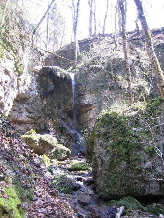
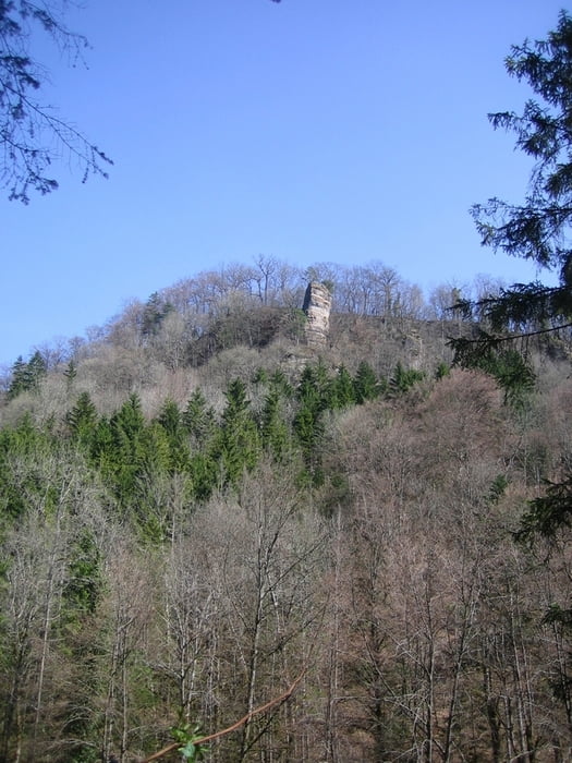
Die Tour führt durch die wildromatischen Wutachflühen.
Die Tour ist von Frühling bis Herbst zu empfehlen.
Jede Jahreszeit hat hier ihren Reiz.
In dem Naturschutzgebiet gibt es sehr viele selte Pfanzen zu sehen.
Wenn man Glück hat, sieht man die historische Sauschwänzlebahn.
Further information at
http://www.schluchtensteig.deGaleria trasy


Mapa trasy i profil wysokości
Minimum height 99999 m
Maximum height -99999 m
More about the tour author
|
|
Tom19 |
Komentarze

Am besten man Parkt auf dem Wanderparkplatz zwischen Achdorf und Fützen (Wellblechstrasse, wie unsere Söhne sagen).
Siehe GPS-Daten.
GPS tracks
Trackpoints-
GPX / Garmin Map Source (gpx) download
-
TCX / Garmin Training Center® (tcx) download
-
CRS / Garmin Training Center® (crs) download
-
Google Earth (kml) download
-
G7ToWin (g7t) download
-
TTQV (trk) download
-
Overlay (ovl) download
-
Fugawi (txt) download
-
Kompass (DAV) Track (tk) download
-
Karta trasy (pdf) download
-
Original file of the author (gpx) download
More about the tour author
|
|
Tom19 |
Add to my favorites
Remove from my favorites
Edit tags
Open track
My score
Rate