


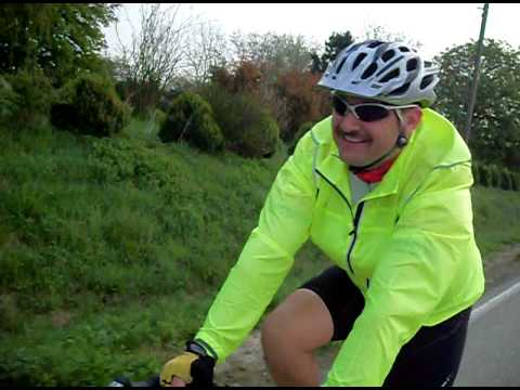
Ostermontagsausfahrt
mit dem örtlichen Radsportverein zur Barock Stadt Bruchsal
http://creandra.de/bruchsal/stadt.html
Für die Besichtigung des Schlosses von Bruchsal war leider keine zeit.Further information at
http://www.rsv-sulzfeld.deGaleria trasy


Mapa trasy i profil wysokości
Minimum height 111 m
Maximum height 257 m
More about the tour author
|
|
Stefan68 |
Komentarze

Sulzfeld ist an die Kraichgaubahn (Karlsruhe - Heilbronn) angebunden, auf der die Stadtbahnlinie S4 im Karlsruher Verkehrsverbund fährt. Die Gemeinde liegt weiter an der Bundesstraße 293 (Heilbronn - Pfinztal). Direkte Nachbargemeinden und durch Landstraßen mit Sulzfeld verbunden sind Kürnbach, Zaisenhausen und Mühlbach.
GPS tracks
Trackpoints-
GPX / Garmin Map Source (gpx) download
-
TCX / Garmin Training Center® (tcx) download
-
CRS / Garmin Training Center® (crs) download
-
Google Earth (kml) download
-
G7ToWin (g7t) download
-
TTQV (trk) download
-
Overlay (ovl) download
-
Fugawi (txt) download
-
Kompass (DAV) Track (tk) download
-
Karta trasy (pdf) download
-
Original file of the author (gpx) download
More about the tour author
|
|
Stefan68 |
Add to my favorites
Remove from my favorites
Edit tags
Open track
My score
Rate