
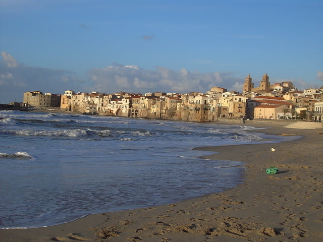

Die Tour startet in Cefalu und ist dem Track folgend einfach zu finden
Es ist ein Wechsel von auf und ab wobei die Steigungen durchschnitlich bei ca 8% liegen.
Es ist angenehm zu fahren und es bieten sich immer wieder Möglichkeiten zur Einkehr.
Die Straßen sind allgemein in einem guten Zustand und können ohne weiteres mit dem Rennrad befahren werden.
Der Verkehr um Cefalu und dem Schutzgebiet "Madonie" ist sehr schwach.
Für diese und die folgenden Sizilientouren empfehle ich das Frühjahr, da die Luft noch klar ist und die Landschaft in voller Blüte steht. Im Sommer hingegen ist das Land ausgedörrt und die Temperaturen sind sehr hoch.
Further information at
http://de.wikipedia.org/wiki/Cefal%C3%B9Galeria trasy

Mapa trasy i profil wysokości
Minimum height -14 m
Maximum height 763 m
More about the tour author
|
|
höhenreiter |
Komentarze

Cefalu liegt an der Nordküste Siziliens und ist von den Flughäfen Siziliens in jeweils ca. 2 Autostunden zu erreichen.
GPS tracks
Trackpoints-
GPX / Garmin Map Source (gpx) download
-
TCX / Garmin Training Center® (tcx) download
-
CRS / Garmin Training Center® (crs) download
-
Google Earth (kml) download
-
G7ToWin (g7t) download
-
TTQV (trk) download
-
Overlay (ovl) download
-
Fugawi (txt) download
-
Kompass (DAV) Track (tk) download
-
Karta trasy (pdf) download
-
Original file of the author (gpx) download
More about the tour author
|
|
höhenreiter |
Add to my favorites
Remove from my favorites
Edit tags
Open track
My score
Rate