Login

Zapomniałeś swój login?

Cookies have to be accepted!
Your browser's cookie functionality is disabled. Please enable this functionality.

Not a member yet?

Register now
Login

Available for registred users only

Log in to use this feature.

Zapomniałeś swój login?

Cookies have to be accepted!
Your browser's cookie functionality is disabled. Please enable this functionality.

Not a member yet?

Register now
Filter
Kategorie
Advanced filters
  • Długość (km)
  • Wysokość
Zapisz filtr Reset filter

TrackRank

QRCode

Technical data

Długość60,6 km Wysokość605 m Way down591 m Czas trwania04:00 h:m Data14.04.2009
Oceny Author Krajobraz Czynnik zadowolenia Kondycja Technika

Statystyka

2541 Widoki 1 Ocena 125 Downloads / Pliki do pobrania 1.00 Przeciętnie
Rate
  • Karta trasy
  • Dojazd
  • Downloads / Pliki do pobrania

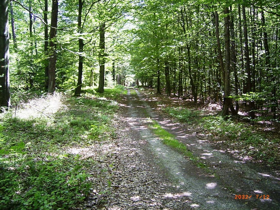
Start in Himmlestadt nach Zellingen, den Main überqueren und weiter nach Retzstadt. Hier dem Radweg nach Binsfeld folgen und auf der Höhe rechts abbiegen. Kurzes Stück über die Landstraße bis zur Einfahrt in den Gramschatzer Wald. Weiter zum Biergarten Einsiedel. Hier die Straße überqueren und Richtung Fernsehturm fahren. Nun dem Wegweiser "Fränkischer Marienweg" folgend. Über Maidbronn und Versbach geht es nach Würzburg. Zurück am Main entlang bis Himmelstadt.


Mapa trasy i profil wysokości

  • Open Street Map
  • Google
Minimum height 149 m Maximum height 364 m Widok szczegółowy

More about the tour author

feilenfritz
Member since 2008

Send private message

Komentarze

GPS tracks

Trackpoints
  • GPX / Garmin Map Source (gpx) download
  • TCX / Garmin Training Center® (tcx) download
  • CRS / Garmin Training Center® (crs) download
  • Google Earth (kml) download
  • G7ToWin (g7t) download
  • TTQV (trk) download
  • Overlay (ovl) download
  • Fugawi (txt) download
  • Kompass (DAV) Track (tk) download
  • Karta trasy (pdf) download
  • Original file of the author (gpx) download

More about the tour author

feilenfritz
Member since 2008

Send private message
Share track
Add to my favorites
Remove from my favorites
Edit tags
My score
Rate
Trasa: Durch den Gramschatzer Wald nach Würzburg
Rodzaj: Rower górski (MTB)
Długość: 60,6 km
Evaluated on:
Czas trwania:
Day(s)
Hour(s)
Minute(s)
Ocena: Krajobraz Czynnik zadowolenia Kondycja Technika