Login

Zapomniałeś swój login?

Cookies have to be accepted!
Your browser's cookie functionality is disabled. Please enable this functionality.

Not a member yet?

Register now
Login

Available for registred users only

Log in to use this feature.

Zapomniałeś swój login?

Cookies have to be accepted!
Your browser's cookie functionality is disabled. Please enable this functionality.

Not a member yet?

Register now
Filter
Kategorie
Advanced filters
  • Długość (km)
  • Wysokość
Zapisz filtr Reset filter

TrackRank

QRCode

Technical data

Długość4,0 km Wysokość120 m Way down117 m Czas trwania00:50 h:m Data14.04.2009
Oceny Author Krajobraz Czynnik zadowolenia Kondycja Technika

Statystyka

570 Widoki Oceny 103 Downloads / Pliki do pobrania Przeciętnie
Rate
  • Karta trasy
  • Dojazd
  • Downloads / Pliki do pobrania
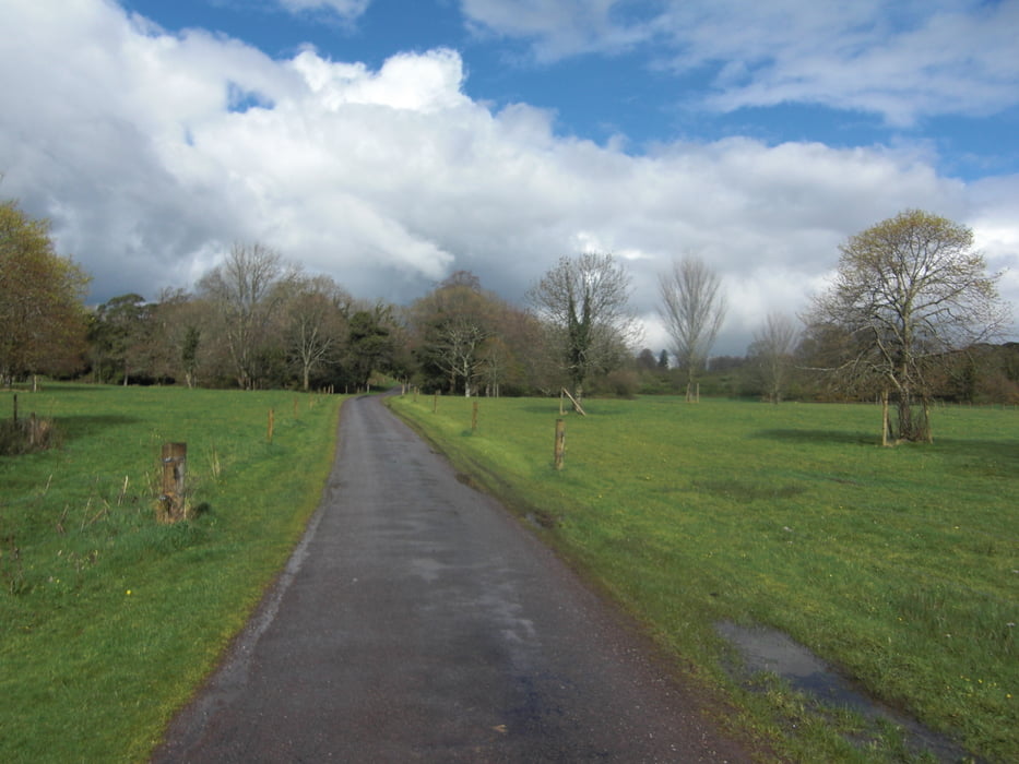
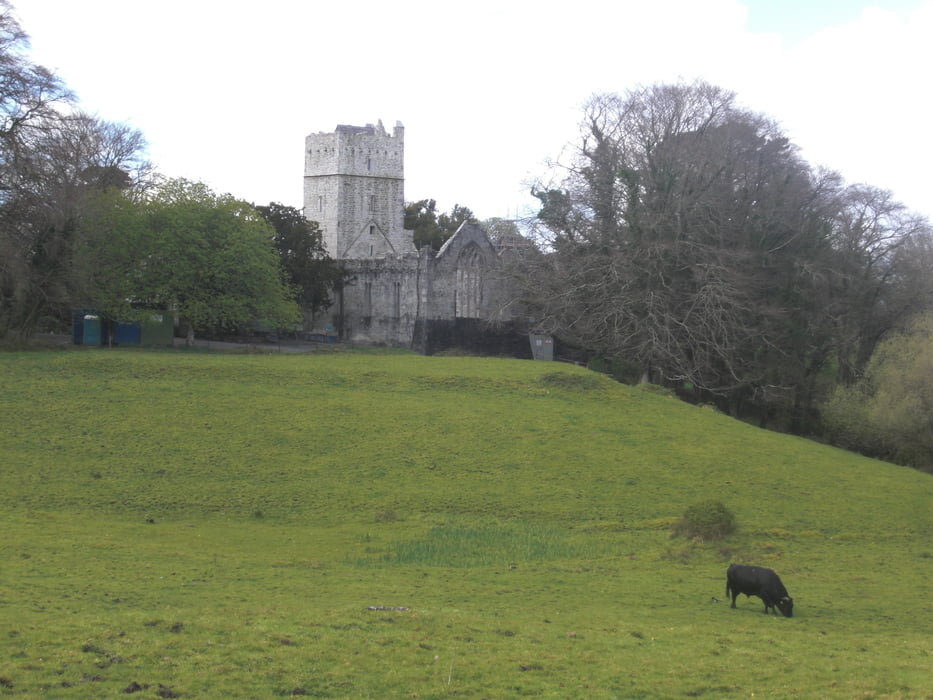
Netter kleiner Spaziergang zum Muckross House im Killarney National Park.

Galeria trasy

Mapa trasy i profil wysokości

  • Open Street Map
  • Google
Minimum height -10 m Maximum height 46 m Widok szczegółowy

More about the tour author

Carbayon

Komentarze

Startpunkt ist ein kleiner (kostenloser!) Parkplatz an der N71 (Abbey Cross) nahe Killarney.

GPS tracks

Trackpoints
  • GPX / Garmin Map Source (gpx) download
  • TCX / Garmin Training Center® (tcx) download
  • CRS / Garmin Training Center® (crs) download
  • Google Earth (kml) download
  • G7ToWin (g7t) download
  • TTQV (trk) download
  • Overlay (ovl) download
  • Fugawi (txt) download
  • Kompass (DAV) Track (tk) download
  • Karta trasy (pdf) download
  • Original file of the author (gpx) download

More about the tour author

Carbayon

Share track
Add to my favorites
Remove from my favorites
Edit tags
My score
Rate
Trasa: Muckross House
Rodzaj: Wędrówki
Długość: 4,0 km
Evaluated on:
Czas trwania:
Day(s)
Hour(s)
Minute(s)
Ocena: Krajobraz Czynnik zadowolenia Kondycja Technika