Login

Zapomniałeś swój login?

Cookies have to be accepted!
Your browser's cookie functionality is disabled. Please enable this functionality.

Not a member yet?

Register now
Login

Available for registred users only

Log in to use this feature.

Zapomniałeś swój login?

Cookies have to be accepted!
Your browser's cookie functionality is disabled. Please enable this functionality.

Not a member yet?

Register now
Filter
Kategorie
Advanced filters
  • Długość (km)
  • Wysokość
Zapisz filtr Reset filter

TrackRank

QRCode

Technical data

Długość37,2 km Wysokość573 m Way down569 m Czas trwania02:30 h:m Data17.04.2009
Oceny Author User Krajobraz Czynnik zadowolenia Kondycja Technika

Statystyka

394 Widoki 3 Oceny 65 Downloads / Pliki do pobrania 4.33 Przeciętnie
Rate
  • Karta trasy
  • Dojazd
  • Downloads / Pliki do pobrania
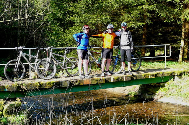
Lockere Genusstour durch landschftlich sehr reizvolle Gegend, kann nach Lust und Laune erweitert werden... ;-)

Mapa trasy i profil wysokości

  • Open Street Map
  • Google
Minimum height 383 m Maximum height 578 m Widok szczegółowy

More about the tour author

humpy
Member since 2008

Send private message

Komentarze

R2_D2 on 18.09.2010

Tour 32343

Nice tour, trails in good condition, went round the other way, interesting climb halfway. Thanks for the ride!
Enduro_Kordl on 10.08.2011

Tour Leuchtenberg

Sers,
die Tour wor ratzn schoaf würd man in da Oberpfalz sogn. :-)

Wirklich super Tour und mit Abwechslungsreichem Untergrund. Hab gar net gewußt das wir hier in da Oberpfalz so ratzn schoafe Trials haben.

Tom

GPS tracks

Trackpoints
  • GPX / Garmin Map Source (gpx) download
  • TCX / Garmin Training Center® (tcx) download
  • CRS / Garmin Training Center® (crs) download
  • Google Earth (kml) download
  • G7ToWin (g7t) download
  • TTQV (trk) download
  • Overlay (ovl) download
  • Fugawi (txt) download
  • Kompass (DAV) Track (tk) download
  • Karta trasy (pdf) download
  • Original file of the author (gpx) download

More about the tour author

humpy
Member since 2008

Send private message
Share track
Add to my favorites
Remove from my favorites
Edit tags
My score
Rate
Trasa: Leuchtenberg und Umgebung
Rodzaj: Rower górski (MTB)
Długość: 37,2 km
Evaluated on:
Czas trwania:
Day(s)
Hour(s)
Minute(s)
Ocena: Krajobraz Czynnik zadowolenia Kondycja Technika