Login

Zapomniałeś swój login?

Cookies have to be accepted!
Your browser's cookie functionality is disabled. Please enable this functionality.

Not a member yet?

Register now
Login

Available for registred users only

Log in to use this feature.

Zapomniałeś swój login?

Cookies have to be accepted!
Your browser's cookie functionality is disabled. Please enable this functionality.

Not a member yet?

Register now
Filter
Kategorie
Advanced filters
  • Długość (km)
  • Wysokość
Zapisz filtr Reset filter

TrackRank

QRCode

Technical data

Długość97,0 km Wysokość966 m Way down863 m Czas trwania00:00 h:m Data19.04.2009
Oceny Author Krajobraz Czynnik zadowolenia Kondycja Technika

Statystyka

1136 Widoki Oceny 44 Downloads / Pliki do pobrania Przeciętnie
Rate
  • Karta trasy
  • Dojazd
  • Downloads / Pliki do pobrania

Schöne Tour durch den Steigerwald .Ab Schwarzach-Volkach den Main entlang durch die Weinberge.Würzburg ist gleich um die Ecke ,wer will kann die Tour nach Schweinfurt fortsetzen.

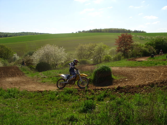
Vor Güntersleben sind noch zwei kleine Anstiege auf Hauptstrassen .Das Ziel war die Rennstrecke des MSC Güntersleben wo die Kollegen des MSC Mühlhausen zu Gast waren.Zuück ging es dann mit dem Tourbus des Checker-Racing-Teams Mühlhausen.


Galeria trasy

Mapa trasy i profil wysokości

  • Open Street Map
  • Google
Minimum height 188 m Maximum height 431 m Widok szczegółowy

More about the tour author

DennerlH
Member since 2009

Send private message

Komentarze

GPS tracks

Trackpoints
  • GPX / Garmin Map Source (gpx) download
  • TCX / Garmin Training Center® (tcx) download
  • CRS / Garmin Training Center® (crs) download
  • Google Earth (kml) download
  • G7ToWin (g7t) download
  • TTQV (trk) download
  • Overlay (ovl) download
  • Fugawi (txt) download
  • Kompass (DAV) Track (tk) download
  • Karta trasy (pdf) download
  • Original file of the author (gpx) download

More about the tour author

DennerlH
Member since 2009

Send private message
Share track
Add to my favorites
Remove from my favorites
Edit tags
My score
Rate
Trasa: Pom.-Steigerwald-Schwarzach/Volkach-Würzburg/Veitshöchheim-Güntersleben
Rodzaj: Trasy rowerowe
Długość: 97,0 km
Evaluated on:
Czas trwania:
Day(s)
Hour(s)
Minute(s)
Ocena: Krajobraz Czynnik zadowolenia Kondycja Technika