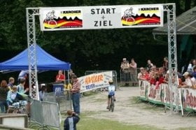
Die Original-Strecke (Mitteldistanz) vom Bike Festival Garmisch-Partenkirchen 2007. Wer vorher trainieren möchte, kann ich sich hieran orientieren, bin nicht sicher, ob die 2009er Strecke identisch sein wird, ähnlich müsste sie sein.
Further information at
http://www.mountainbike-in-bayern.deGaleria trasy
Mapa trasy i profil wysokości
Minimum height 694 m
Maximum height 1574 m
Komentarze
GPS tracks
Trackpoints-
GPX / Garmin Map Source (gpx) download
-
TCX / Garmin Training Center® (tcx) download
-
CRS / Garmin Training Center® (crs) download
-
Google Earth (kml) download
-
G7ToWin (g7t) download
-
TTQV (trk) download
-
Overlay (ovl) download
-
Fugawi (txt) download
-
Kompass (DAV) Track (tk) download
-
Karta trasy (pdf) download
-
Original file of the author (gpx) download
Add to my favorites
Remove from my favorites
Edit tags
Open track
My score
Rate


Sehr schönes und anspruchsvolles Training
Mein Höhenmesser hat übrigens mit einem kleinen Abstecher zur Kreuzeckbahn in Summe knapp 2.000 Höhenmeter angezeigt. Daher besser ein paar Körner bis ganz zum Schluss aufheben ;-)