
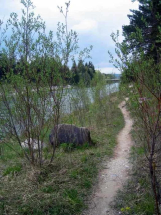

Sehr schöne Trainingsrunde über die noch erlaubten Trails entlang der Isar. Die Tour besitzt einen hohen Spaßfaktor, erfordert aber auch ein wenig technisches Können, da die Trails zum Teil sehr eng und mit Wurzeln und Steinen blockiert sind. Nach Regenfällen z.T. sehr schlammig!
Durch das steile Hochufer ist der GPS-Empfang leider teilweise gestört. Die Trails sind aber auch so leicht zu finden, sie verlaufen auf der Hinfahrt jeweils links des Haupt-Schotterweges, auf der Rückfahrt ebenfalls links, enden hier aber nach ca. 2 km (Bikeverbotszone).
Further information at
http://www.mountainbike-in-bayern.deGaleria trasy

Mapa trasy i profil wysokości
Minimum height 520 m
Maximum height 569 m
More about the tour author
|
|
PegasusEeagel |
Komentarze

GPS tracks
Trackpoints-
GPX / Garmin Map Source (gpx) download
-
TCX / Garmin Training Center® (tcx) download
-
CRS / Garmin Training Center® (crs) download
-
Google Earth (kml) download
-
G7ToWin (g7t) download
-
TTQV (trk) download
-
Overlay (ovl) download
-
Fugawi (txt) download
-
Kompass (DAV) Track (tk) download
-
Karta trasy (pdf) download
-
Original file of the author (gpx) download
More about the tour author
|
|
PegasusEeagel |
Add to my favorites
Remove from my favorites
Edit tags
Open track
My score
Rate