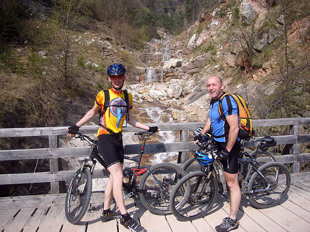
Leider kamen wir nicht ganz bis zur Höhe hinauf, da noch zuviel Schnee lag. War trotzdem spaßig, aber auch anstrengend. Siehe auch Link zum Bericht.
Further information at
http://www.velotouren.net/radtouren/touren/touren2009/suedtirol/Galeria trasy
Mapa trasy i profil wysokości
Minimum height 229 m
Maximum height 1627 m
Komentarze

Brennerautobahn, Ausfahrt Bozen Süd, dann Richtung Kaltern.
GPS tracks
Trackpoints-
GPX / Garmin Map Source (gpx) download
-
TCX / Garmin Training Center® (tcx) download
-
CRS / Garmin Training Center® (crs) download
-
Google Earth (kml) download
-
G7ToWin (g7t) download
-
TTQV (trk) download
-
Overlay (ovl) download
-
Fugawi (txt) download
-
Kompass (DAV) Track (tk) download
-
Karta trasy (pdf) download
-
Original file of the author (gpx) download
Add to my favorites
Remove from my favorites
Edit tags
Open track
My score
Rate


