Login

Zapomniałeś swój login?

Cookies have to be accepted!
Your browser's cookie functionality is disabled. Please enable this functionality.

Not a member yet?

Register now
Login

Available for registred users only

Log in to use this feature.

Zapomniałeś swój login?

Cookies have to be accepted!
Your browser's cookie functionality is disabled. Please enable this functionality.

Not a member yet?

Register now
Filter
Kategorie
Advanced filters
  • Długość (km)
  • Wysokość
Zapisz filtr Reset filter

TrackRank

QRCode

Technical data

Długość61,8 km Wysokość848 m Way down864 m Czas trwania03:30 h:m Data01.05.2006
Oceny Author Krajobraz Czynnik zadowolenia Kondycja Technika

Statystyka

725 Widoki Oceny 139 Downloads / Pliki do pobrania Przeciętnie
Rate
  • Karta trasy
  • Dojazd
  • Downloads / Pliki do pobrania
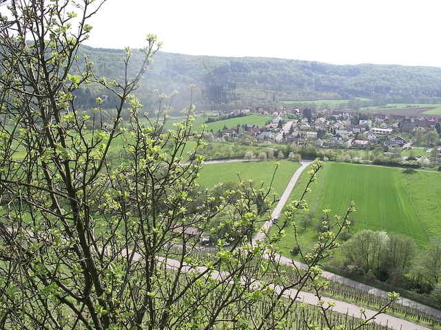
Schöne Tour mit Start an der Turnhalle in Zaisersweiher. Es geht über Ochsenbach bis nach Bönnigheim.

Galeria trasy

Mapa trasy i profil wysokości

  • Open Street Map
  • Google
Minimum height 232 m Maximum height 421 m Widok szczegółowy

More about the tour author

siggi.k.
Member since 2004

Send private message

Komentarze

jochenri on 17.07.2010

Deine Tour

Hallo Siggi,

wir sind heute die Tour von Bönnigheim aus gefahren. Leider hat es später geregnet. Dann wars aber nicht mehr so heiß. Ein paar schöne Trails waren ja drinn. Derr Rennweg war halt ein bischen viel Waldautobahn. Gibt es bei Stettenfels und Diefenbach auch Trails?

Gruß Jochen

GPS tracks

Trackpoints
  • GPX / Garmin Map Source (gpx) download
  • TCX / Garmin Training Center® (tcx) download
  • CRS / Garmin Training Center® (crs) download
  • Google Earth (kml) download
  • G7ToWin (g7t) download
  • TTQV (trk) download
  • Overlay (ovl) download
  • Fugawi (txt) download
  • Kompass (DAV) Track (tk) download
  • Karta trasy (pdf) download
  • Original file of the author (g7t) download

More about the tour author

siggi.k.
Member since 2004

Send private message
Share track
Add to my favorites
Remove from my favorites
Edit tags
My score
Rate
Trasa: Rund um Ochsenbach
Rodzaj: Rower górski (MTB)
Długość: 61,8 km
Evaluated on:
Czas trwania:
Day(s)
Hour(s)
Minute(s)
Ocena: Krajobraz Czynnik zadowolenia Kondycja Technika