Viele werden die GIS bereits kennen : hier ist eine Variante mit dem Gründberg Trail, den ich für GPS noch nicht gefunden habe.
Runter gehts im Besten Downhill: Diesenleithenweg !
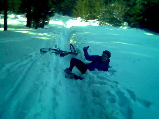
Am Wurzeltrail zur Gis bin ich links vom Weg, da wegen des Schnees und der umgefallenen Bäume der Weg nicht befahrbar war.
Aufgezeichnet mit Garmin GPSMAP 60CSx.
Galeria trasy
Mapa trasy i profil wysokości
Minimum height 259 m
Maximum height 920 m
Komentarze

michwies
on 12.04.2010
schöner track, alles fahrbar, danke!

Linz ist leicht zu finden.
Meine Tour beginnt beim Hofer Ecke Freistädterstrasse-Zerzerstrasse.
GPS tracks
Trackpoints-
GPX / Garmin Map Source (gpx) download
-
TCX / Garmin Training Center® (tcx) download
-
CRS / Garmin Training Center® (crs) download
-
Google Earth (kml) download
-
G7ToWin (g7t) download
-
TTQV (trk) download
-
Overlay (ovl) download
-
Fugawi (txt) download
-
Kompass (DAV) Track (tk) download
-
Karta trasy (pdf) download
-
Original file of the author (gpx) download
Add to my favorites
Remove from my favorites
Edit tags
Open track
My score
Rate


