

Die Alternative der MTB-Strecke Nr.7 für Eilige. Ich mußte die Schlaufe über Bernstein am Wald aus Zeitgründen auslassen, dadurch ergab sich eine Verkürzung der Strecke um 12 Km.
Die Tour verläuft überwiegend auf Forstwegen und ein paar kurzen Asphaltstücken, Trails findet man gleich zu Beginn am Döbraberg (Bike Fun Trails) und ein paar kurze auf der Strecke.
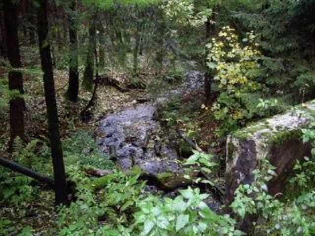
Die Verbindung vom Tal bei Überkehr wieder hoch zur Strecke ist etwas abenteuerlich (Tragepassagen wegen umgestürzter Bäume) aber relativ kurz.
Viel Spass beim nachfahren.
Mapa trasy i profil wysokości
Minimum height 413 m
Maximum height 738 m
More about the tour author
|
|
berndhuber |
Komentarze

GPS tracks
Trackpoints-
GPX / Garmin Map Source (gpx) download
-
TCX / Garmin Training Center® (tcx) download
-
CRS / Garmin Training Center® (crs) download
-
Google Earth (kml) download
-
G7ToWin (g7t) download
-
TTQV (trk) download
-
Overlay (ovl) download
-
Fugawi (txt) download
-
Kompass (DAV) Track (tk) download
-
Karta trasy (pdf) download
-
Original file of the author (gpx) download
More about the tour author
|
|
berndhuber |
Add to my favorites
Remove from my favorites
Edit tags
Open track
My score
Rate