

Die Tour beginnt in Singwitz und geht erstmal in die Berge wo auch auf den ersten 20 km zahlreiche nicht zu unterschätzende Steigungen zu überwinden sind. Diese Steigungen sind zwar meistens kurz aber teilweise 12 % - 14 % steil. Hat man diese überwunden wird man mit einer schönen Aussicht in die Lausitz belohnt. Die nächsten ca. 20 km geht es flach weiter auf kaum befahrenen Landstraßen um Bautzen herum. Nun noch 10 km leicht aufwärts, was aber keine allzu große Mühe machen sollte und man ist wieder am Ausgangspunkt.
Viel Spaß
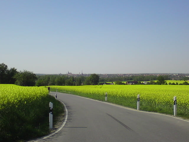
Galeria trasy


Mapa trasy i profil wysokości
Minimum height 142 m
Maximum height 350 m
More about the tour author
|
|
Becks_78 |
Komentarze

GPS tracks
Trackpoints-
GPX / Garmin Map Source (gpx) download
-
TCX / Garmin Training Center® (tcx) download
-
CRS / Garmin Training Center® (crs) download
-
Google Earth (kml) download
-
G7ToWin (g7t) download
-
TTQV (trk) download
-
Overlay (ovl) download
-
Fugawi (txt) download
-
Kompass (DAV) Track (tk) download
-
Karta trasy (pdf) download
-
Original file of the author (gpx) download
More about the tour author
|
|
Becks_78 |
Add to my favorites
Remove from my favorites
Edit tags
Open track
My score
Rate