Login

Zapomniałeś swój login?

Cookies have to be accepted!
Your browser's cookie functionality is disabled. Please enable this functionality.

Not a member yet?

Register now
Login

Available for registred users only

Log in to use this feature.

Zapomniałeś swój login?

Cookies have to be accepted!
Your browser's cookie functionality is disabled. Please enable this functionality.

Not a member yet?

Register now
Filter
Kategorie
Advanced filters
  • Długość (km)
  • Wysokość
Zapisz filtr Reset filter

TrackRank

QRCode

Technical data

Długość91,0 km Wysokość1947 m Way down1945 m Czas trwania04:30 h:m Data07.05.2009
Oceny Author Krajobraz Czynnik zadowolenia Kondycja Technika

Statystyka

306 Widoki Oceny 30 Downloads / Pliki do pobrania Przeciętnie
Rate
  • Karta trasy
  • Dojazd
  • Downloads / Pliki do pobrania
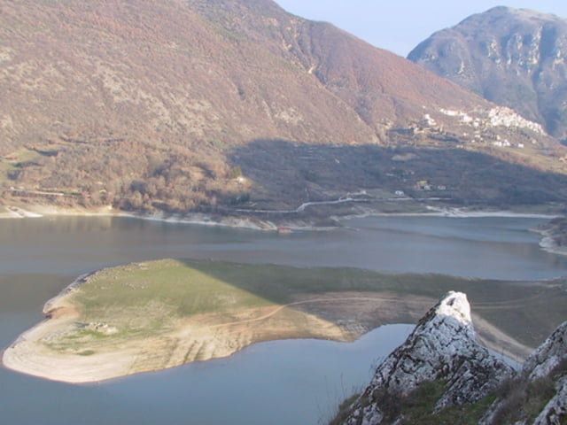
Der Norden von Rom gehört noch zu den un-touristischsten Gebieten dabei gibt es wunderschöne Natur zur sehen mit vielen Bergen und Seen. Durch ruhige Strassen führt die Reise über Berge, durch Täler an Oliven- und Kirsch -Plantagen vorbei. Natürliche und auch künstliche Seen laden zu Pausen ein. Es ist also möglich eine Städtereise nach Rom zu machen und trotzdem Einen oder Zwei Tage zu widmen um sich etwas Ruhe zu gönnen, die man in der ewigen Stadt kaum finden kann.

Galeria trasy

Mapa trasy i profil wysokości

  • Open Street Map
  • Google
Minimum height 161 m Maximum height 978 m Widok szczegółowy

More about the tour author

tlorenz
Member since 2007

Send private message

Komentarze

GPS tracks

Trackpoints
  • GPX / Garmin Map Source (gpx) download
  • TCX / Garmin Training Center® (tcx) download
  • CRS / Garmin Training Center® (crs) download
  • Google Earth (kml) download
  • G7ToWin (g7t) download
  • TTQV (trk) download
  • Overlay (ovl) download
  • Fugawi (txt) download
  • Kompass (DAV) Track (tk) download
  • Karta trasy (pdf) download
  • Original file of the author (gpx) download

More about the tour author

tlorenz
Member since 2007

Send private message
Share track
Add to my favorites
Remove from my favorites
Edit tags
My score
Rate
Trasa: Von Borgo Quinzio über den Lago Turano nach Fara Sabina
Rodzaj: Rower szosowy
Długość: 91,0 km
Evaluated on:
Czas trwania:
Day(s)
Hour(s)
Minute(s)
Ocena: Krajobraz Czynnik zadowolenia Kondycja Technika