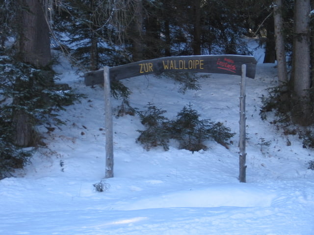
Als wir diese Loipe gefahren sind, war sie nicht präpariert. Auch die Schilder sind mit Ausnahme des großen Holzschildes am Anfang entfernt. Diese Strecke erfordert Kondition und bietet keine Abzweigungen auf einfachere Strecken. Es existieren steile Anstiege und Abfahreten auch um enge Kurven. Den größten Reiz an dieser Loipe stellt ihre Abgeschiedenheit dar.
Galeria trasy
Mapa trasy i profil wysokości
Minimum height 1090 m
Maximum height 1184 m
Komentarze

Der beste Zugang ist über die Loipe A6 von Leutasch aus.
GPS tracks
Trackpoints-
GPX / Garmin Map Source (gpx) download
-
TCX / Garmin Training Center® (tcx) download
-
CRS / Garmin Training Center® (crs) download
-
Google Earth (kml) download
-
G7ToWin (g7t) download
-
TTQV (trk) download
-
Overlay (ovl) download
-
Fugawi (txt) download
-
Kompass (DAV) Track (tk) download
-
Karta trasy (pdf) download
-
Original file of the author (gpx) download
Add to my favorites
Remove from my favorites
Edit tags
Open track
My score
Rate


