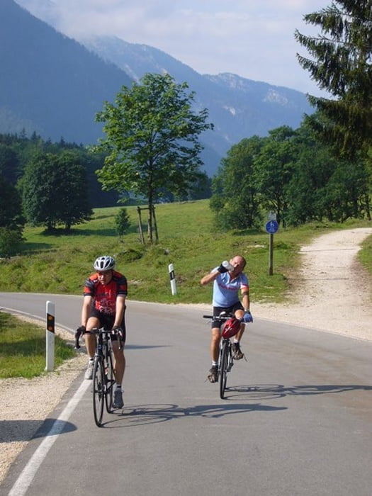
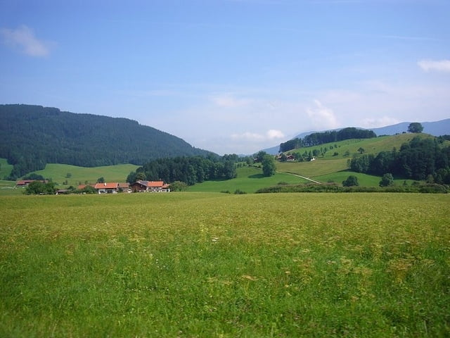
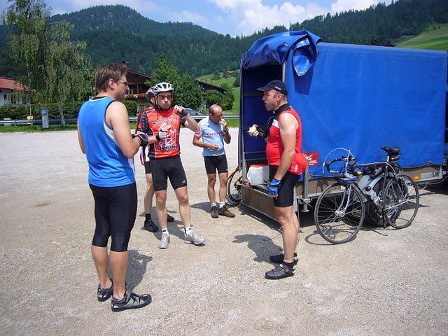
Start in Ramsau, Anstieg zum Weissgraben hinauf, danach geht es über Weissbach an der Alpenstraße, Schenau, Fritz am Sand und Reit im Winkl immer auf und ab weiter, ohne dass es stressig wird. Am Schluss der Etappe muss eine letzte Steigung zum Brunnhaus überwunden werden, bevor man die Abfahrt nach Grabenstätt genießen darf.
Further information at
http://www.velotouren.net/radtouren/eurovelo/euro2008/alpenstrasse/nachbereitung/daten/fahrtag02.phpGaleria trasy
Mapa trasy i profil wysokości
Minimum height 513 m
Maximum height 889 m
Komentarze

GPS tracks
Trackpoints-
GPX / Garmin Map Source (gpx) download
-
TCX / Garmin Training Center® (tcx) download
-
CRS / Garmin Training Center® (crs) download
-
Google Earth (kml) download
-
G7ToWin (g7t) download
-
TTQV (trk) download
-
Overlay (ovl) download
-
Fugawi (txt) download
-
Kompass (DAV) Track (tk) download
-
Karta trasy (pdf) download
-
Original file of the author (gpx) download
Add to my favorites
Remove from my favorites
Edit tags
Open track
My score
Rate


