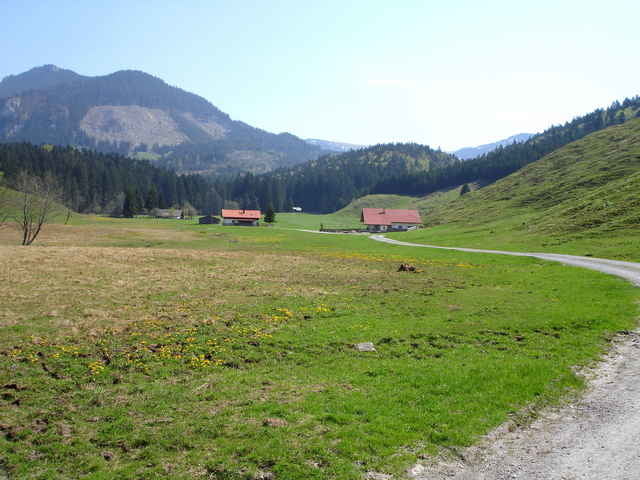
Vom Parkplatz " Am Schwimmbad " in Nussdorf auf steilem Weg zum Buchberg, weiter zur Euzenau, über die Kasalm ins Trockenbachtal und auf einen Forstweg hinauf zum Spitzsteinhaus. Runter gehts auf rasanter Abfahrt bis nach Erl und auf dem Inndamm zurück zum Ausgangspunkt.
Galeria trasy
Mapa trasy i profil wysokości
Minimum height 465 m
Maximum height 1276 m
Komentarze

Autobahn München - Innsbruck, Ausfahrt Brannenburg / Nussdorf. Von Nussdorf ca. 1 km in Richtung Erl. Ausgangspunkt großer Parkplatz "Am Schwimmbad" in Nussdorf. (neben Sportplatz / Tennisplatz )
GPS tracks
Trackpoints-
GPX / Garmin Map Source (gpx) download
-
TCX / Garmin Training Center® (tcx) download
-
CRS / Garmin Training Center® (crs) download
-
Google Earth (kml) download
-
G7ToWin (g7t) download
-
TTQV (trk) download
-
Overlay (ovl) download
-
Fugawi (txt) download
-
Kompass (DAV) Track (tk) download
-
Karta trasy (pdf) download
-
Original file of the author (g7t) download
Add to my favorites
Remove from my favorites
Edit tags
Open track
My score
Rate


