Login

Zapomniałeś swój login?

Cookies have to be accepted!
Your browser's cookie functionality is disabled. Please enable this functionality.

Not a member yet?

Register now
Login

Available for registred users only

Log in to use this feature.

Zapomniałeś swój login?

Cookies have to be accepted!
Your browser's cookie functionality is disabled. Please enable this functionality.

Not a member yet?

Register now
Filter
Kategorie
Advanced filters
  • Długość (km)
  • Wysokość
Zapisz filtr Reset filter

TrackRank

QRCode

Technical data

Długość22,9 km Wysokość590 m Way down m Czas trwania01:45 h:m Data12.05.2006
Oceny Author Krajobraz Czynnik zadowolenia Kondycja Technika

Statystyka

1617 Widoki Oceny 339 Downloads / Pliki do pobrania Przeciętnie
Rate
  • Karta trasy
  • Dojazd
  • Downloads / Pliki do pobrania
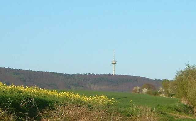
Zügig über'n Kamm und dann die Chill-Out-Schleife um die Nordspitze.

Kann sicherlich noch optimiert werden. Vorschläge!

Mapa trasy i profil wysokości

  • Open Street Map
  • Google
Minimum height 91 m Maximum height 329 m Widok szczegółowy

More about the tour author

Lauenauer

Komentarze

Lauenau, Barsinghausen, Bad Nenndorf, Rodenberg, egal.

GPS tracks

Trackpoints
  • GPX / Garmin Map Source (gpx) download
  • TCX / Garmin Training Center® (tcx) download
  • CRS / Garmin Training Center® (crs) download
  • Google Earth (kml) download
  • G7ToWin (g7t) download
  • TTQV (trk) download
  • Overlay (ovl) download
  • Fugawi (txt) download
  • Kompass (DAV) Track (tk) download
  • Karta trasy (pdf) download
  • Original file of the author (gpx) download

More about the tour author

Lauenauer

Share track
Add to my favorites
Remove from my favorites
Edit tags
My score
Rate
Trasa: Deister - Nordschleife
Rodzaj: Rower górski (MTB)
Długość: 22,9 km
Evaluated on:
Czas trwania:
Day(s)
Hour(s)
Minute(s)
Ocena: Krajobraz Czynnik zadowolenia Kondycja Technika