


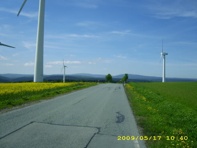
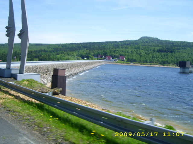
Die angegebene Tour war Teil (Fitnessrunde) der 4. Grenzlandtour 2009 in Arnsfeld im Erzgebirgskreis
Es ist eine landschftlich schöne Tour über die Höhen des Erzgebirges auf deutscher und tschechischer Seite.
Gefahren wird ausschließlich auf geteerten Feldwegen,Straßen und gut ausgebauten Waldwegen. Im Bereich oberhalb von Mildenau weicht die Tour wegen einer fehlerhaften Ausschilderung etwas von der Originaltour ab bis zum Ortseingang Jöhstadt.
Beachtet: Für den tschechischen Teil ist Personalausweis notwendig und Helm für unter 18 Pflicht!
Further information at
http://www.grenzlandtour.com/Galeria trasy


Mapa trasy i profil wysokości
Minimum height 525 m
Maximum height 904 m
More about the tour author

|
Witzer65 |
Komentarze

von Annaberg B95 in Richtung Mildenau- Arnsfeld
GPS tracks
Trackpoints-
GPX / Garmin Map Source (gpx) download
-
TCX / Garmin Training Center® (tcx) download
-
CRS / Garmin Training Center® (crs) download
-
Google Earth (kml) download
-
G7ToWin (g7t) download
-
TTQV (trk) download
-
Overlay (ovl) download
-
Fugawi (txt) download
-
Kompass (DAV) Track (tk) download
-
Karta trasy (pdf) download
-
Original file of the author (gpx) download
More about the tour author
|
|
Witzer65 |
Add to my favorites
Remove from my favorites
Edit tags
Open track
My score
Rate