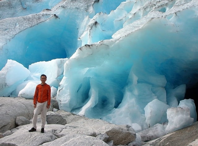
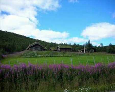
Login

Zapomniałeś swój login?

Cookies have to be accepted!
Your browser's cookie functionality is disabled. Please enable this functionality.

Not a member yet?

Register now
Login

Available for registred users only

Log in to use this feature.

Zapomniałeś swój login?

Cookies have to be accepted!
Your browser's cookie functionality is disabled. Please enable this functionality.

Not a member yet?

Register now
Filter
Kategorie
Advanced filters
  • Długość (km)
  • Wysokość
Zapisz filtr Reset filter

TrackRank

QRCode

Technical data

Długość1.270,0 km Wysokość2792 m Way down2678 m Czas trwania00:00 h:m Data21.05.2009
Oceny Author Krajobraz Czynnik zadowolenia Kondycja Technika

Statystyka

938 Widoki Oceny 91 Downloads / Pliki do pobrania Przeciętnie
Rate
  • Karta trasy
  • Dojazd
  • Downloads / Pliki do pobrania

Galeria trasy

Mapa trasy i profil wysokości

  • Open Street Map
  • Google
Minimum height -22 m Maximum height 277 m Widok szczegółowy

More about the tour author

jimvdberg
Member since 2008

Send private message

Komentarze

kloss on 02.10.2009

Lüge ????

Schöhne Tour (Bergen-Trondheim)

Nur frage ich mich, wie man mit dem Rad durch die
Berge fahren kann (und das auch noch per Luftlienie)
ohne Straßen.

GPS tracks

Trackpoints
  • GPX / Garmin Map Source (gpx) download
  • TCX / Garmin Training Center® (tcx) download
  • CRS / Garmin Training Center® (crs) download
  • Google Earth (kml) download
  • G7ToWin (g7t) download
  • TTQV (trk) download
  • Overlay (ovl) download
  • Fugawi (txt) download
  • Kompass (DAV) Track (tk) download
  • Karta trasy (pdf) download
  • Original file of the author (gpx) download

More about the tour author

jimvdberg
Member since 2008

Send private message
Share track
Add to my favorites
Remove from my favorites
Edit tags
My score
Rate
Trasa: Bergen-Trondheim
Rodzaj: Trasy rowerowe
Długość: 1.270,0 km
Evaluated on:
Czas trwania:
Day(s)
Hour(s)
Minute(s)
Ocena: Krajobraz Czynnik zadowolenia Kondycja Technika