Login

Zapomniałeś swój login?

Cookies have to be accepted!
Your browser's cookie functionality is disabled. Please enable this functionality.

Not a member yet?

Register now
Login

Available for registred users only

Log in to use this feature.

Zapomniałeś swój login?

Cookies have to be accepted!
Your browser's cookie functionality is disabled. Please enable this functionality.

Not a member yet?

Register now
Filter
Kategorie
Advanced filters
  • Długość (km)
  • Wysokość
Zapisz filtr Reset filter

TrackRank

QRCode

Technical data

Długość31,7 km Wysokość989 m Way down991 m Czas trwania02:30 h:m Data23.05.2009
Oceny Author Krajobraz Czynnik zadowolenia Kondycja Technika

Statystyka

228 Widoki 1 Ocena 68 Downloads / Pliki do pobrania 4.00 Przeciętnie
Rate
  • Karta trasy
  • Dojazd
  • Downloads / Pliki do pobrania

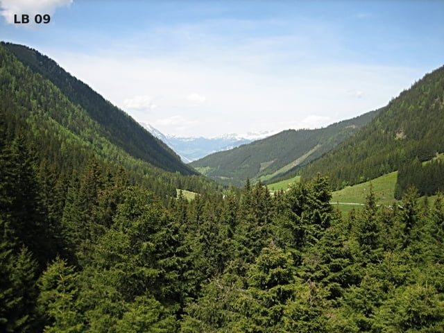
Diese Mountainbiketour führt uns von Donnersbachwald über die Forststraße im Schaablehen auf die Planneralm. Von der ganzen Tour sind nur ca.7,5 Kilometer auf Schotter zu fahren, aber die Straßen nach Donnersbachwald und auf die Planneralm haben im Sommer kein großes Verkehrsaufkommen.


Weitere Infos und Fotos zur Schaablehen - Planneralm MTB Tour findest du auf

biketours4you.at


Mapa trasy i profil wysokości

  • Open Street Map
  • Google
Minimum height 784 m Maximum height 1597 m Widok szczegółowy

More about the tour author

Trek1400d
Member since 2008

Send private message

Komentarze

GPS tracks

Trackpoints
  • GPX / Garmin Map Source (gpx) download
  • TCX / Garmin Training Center® (tcx) download
  • CRS / Garmin Training Center® (crs) download
  • Google Earth (kml) download
  • G7ToWin (g7t) download
  • TTQV (trk) download
  • Overlay (ovl) download
  • Fugawi (txt) download
  • Kompass (DAV) Track (tk) download
  • Karta trasy (pdf) download
  • Original file of the author (gpx) download

More about the tour author

Trek1400d
Member since 2008

Send private message
Share track
Add to my favorites
Remove from my favorites
Edit tags
My score
Rate
Trasa: Schaablehen - Planneralm
Rodzaj: Rower górski (MTB)
Długość: 31,7 km
Evaluated on:
Czas trwania:
Day(s)
Hour(s)
Minute(s)
Ocena: Krajobraz Czynnik zadowolenia Kondycja Technika