Login

Zapomniałeś swój login?

Cookies have to be accepted!
Your browser's cookie functionality is disabled. Please enable this functionality.

Not a member yet?

Register now
Login

Available for registred users only

Log in to use this feature.

Zapomniałeś swój login?

Cookies have to be accepted!
Your browser's cookie functionality is disabled. Please enable this functionality.

Not a member yet?

Register now
Filter
Kategorie
Advanced filters
  • Długość (km)
  • Wysokość
Zapisz filtr Reset filter

TrackRank

QRCode

Technical data

Długość168,0 km Wysokość815 m Way down1741 m Czas trwania02:35 h:m Data23.05.2009
Oceny Author Krajobraz Czynnik zadowolenia Kondycja Technika

Statystyka

473 Widoki Oceny 153 Downloads / Pliki do pobrania Przeciętnie
Rate
  • Karta trasy
  • Dojazd
  • Downloads / Pliki do pobrania

Depart Le Gaschney  9:00h

Arriver au Markstein

Puis retour sur Wissembourg, pour une remise en etat

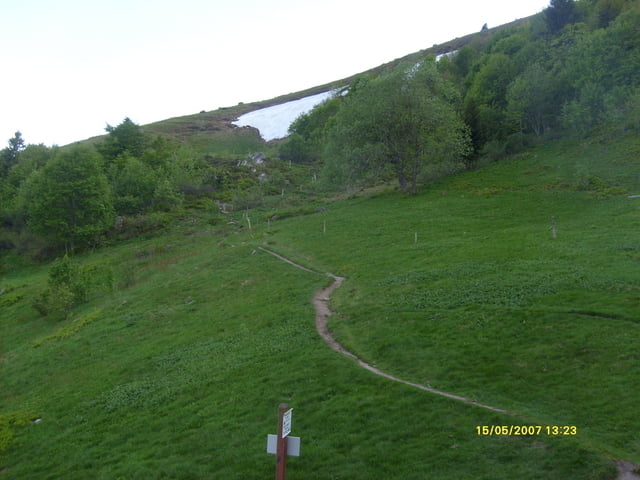
belle traversee ,usant , le terrain boulleux apres de forte pluies

Galeria trasy

Mapa trasy i profil wysokości

  • Open Street Map
  • Google
Minimum height 171 m Maximum height 1270 m Widok szczegółowy

More about the tour author

LJL1951
Member since 2008

Send private message

Komentarze

GPS tracks

Trackpoints
  • GPX / Garmin Map Source (gpx) download
  • TCX / Garmin Training Center® (tcx) download
  • CRS / Garmin Training Center® (crs) download
  • Google Earth (kml) download
  • G7ToWin (g7t) download
  • TTQV (trk) download
  • Overlay (ovl) download
  • Fugawi (txt) download
  • Kompass (DAV) Track (tk) download
  • Karta trasy (pdf) download
  • Original file of the author (gpx) download

More about the tour author

LJL1951
Member since 2008

Send private message
Share track
Add to my favorites
Remove from my favorites
Edit tags
My score
Rate
Trasa: Ma TMV etape 7
Rodzaj: Rower górski (MTB)
Długość: 168,0 km
Evaluated on:
Czas trwania:
Day(s)
Hour(s)
Minute(s)
Ocena: Krajobraz Czynnik zadowolenia Kondycja Technika