Login

Zapomniałeś swój login?

Cookies have to be accepted!
Your browser's cookie functionality is disabled. Please enable this functionality.

Not a member yet?

Register now
Login

Available for registred users only

Log in to use this feature.

Zapomniałeś swój login?

Cookies have to be accepted!
Your browser's cookie functionality is disabled. Please enable this functionality.

Not a member yet?

Register now
Filter
Kategorie
Advanced filters
  • Długość (km)
  • Wysokość
Zapisz filtr Reset filter

TrackRank

QRCode

Technical data

Długość19,6 km Wysokość751 m Way down752 m Czas trwania04:30 h:m Data23.05.2009
Oceny Author Krajobraz Czynnik zadowolenia Kondycja Technika

Statystyka

302 Widoki Oceny 40 Downloads / Pliki do pobrania Przeciętnie
Rate
  • Karta trasy
  • Dojazd
  • Downloads / Pliki do pobrania

IVV Rundwanderweg - Wandertag Vaterteag 21.05.2009

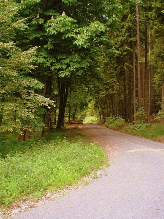
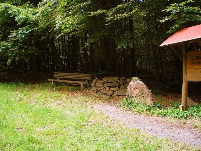
Super Landschaft – keine besonderen Anforderungen an Schuhwerk oder Ausrüstung


Galeria trasy

Mapa trasy i profil wysokości

  • Open Street Map
  • Google
Minimum height 168 m Maximum height 356 m Widok szczegółowy

More about the tour author

Heinrichs
Member since 2007

Send private message

Komentarze

startkoordienate bei google maps eingeben und los geht`s ;-)

N50 52.656 E9 00.924

GPS tracks

Trackpoints
  • GPX / Garmin Map Source (gpx) download
  • TCX / Garmin Training Center® (tcx) download
  • CRS / Garmin Training Center® (crs) download
  • Google Earth (kml) download
  • G7ToWin (g7t) download
  • TTQV (trk) download
  • Overlay (ovl) download
  • Fugawi (txt) download
  • Kompass (DAV) Track (tk) download
  • Karta trasy (pdf) download
  • Original file of the author (gpx) download

More about the tour author

Heinrichs
Member since 2007

Send private message
Share track
Add to my favorites
Remove from my favorites
Edit tags
My score
Rate
Trasa: Hatzbacher IVV Rundwanderstrecke
Rodzaj: Wędrówki
Długość: 19,6 km
Evaluated on:
Czas trwania:
Day(s)
Hour(s)
Minute(s)
Ocena: Krajobraz Czynnik zadowolenia Kondycja Technika